UN/LOCODE hub · Australia
AUMTW

Mount Waverly

-37.8833°, 145.1333°
2
Transport functions

Transport Functions

Rail
Road
UN/LOCODE

Hub Profile

Region
VIC
GeoNames

Location

Location of AUMTW
Natural Earth 10m (public domain) · VIC · AUMTW · -37.88, 145.13GoogleOSMYandex

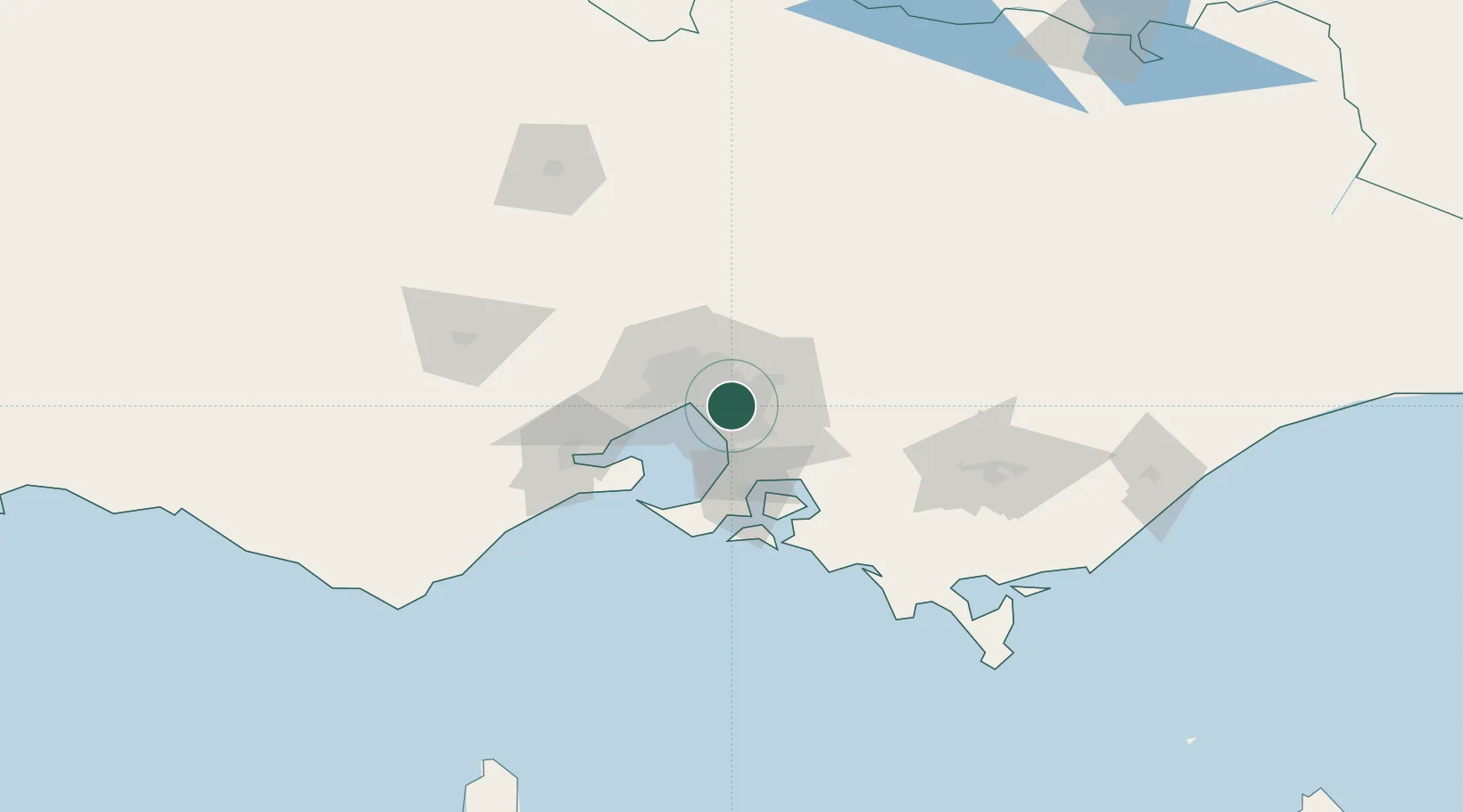
Nearby Logistics Neighbours

Cities
  1. 1Notting Hill2 km
  2. 2Glen Waverley3 km
  3. 3Oakleigh5 km
  4. 4Chadstone/Melbourne6 km
  5. 5Scoresby8 km
Nearest neighbours — logibook spatial index (haversine) over the source coordinates
Ports
  1. 1Melbourne16 km
  2. 2Western Port53 km
  3. 3Geelong73 km
  4. 4Welshpool148 km
  5. 5Warrnambool239 km
Nearest neighbours — logibook spatial index (haversine) over the source coordinates
Airports
  1. 1Melbourne Moorabbin Airport11 km
  2. 2Melbourne Essendon Airport27 km
  3. 3Melbourne Airport35 km
  4. 4Melbourne Avalon International Airport61 km
  5. 5Latrobe Valley Airport123 km
Nearest neighbours — logibook spatial index (haversine) over the source coordinates
Trade Zones
  1. 1Latrobe Valley Economic Growth Zone117 km
  2. 2Paga Hill Estate Special Economic Zone3164 km
  3. 3Vanuatu Economic Development Zone3296 km
  4. 4Ihu Special Economic Zone3335 km
  5. 5Morobe Agricultural Special Economic Zone3473 km
Nearest neighbours — logibook spatial index (haversine) over the source coordinates
DatabookThe Record of Consolidated Knowledge
Australia beyond logistics?
Browse databook

All Sources

LocationsUN/LOCODE
UN/LOCODE — free
Portsthe NGA World Port Index
Public domain (US gov)
AirportsOurAirports
Public domain
Trade Zonesthe World Bank SEZ database
CC BY 4.0
Trade ZonesOpen Zone Map
CC BY
← Australia locations