Transport Functions
Rail
Road
Multimodal
Hub Profile
Place type
Urban district
Region
Victoria
Population
28,587
Time zone
Australia/Melbourne
Elevation
20 m
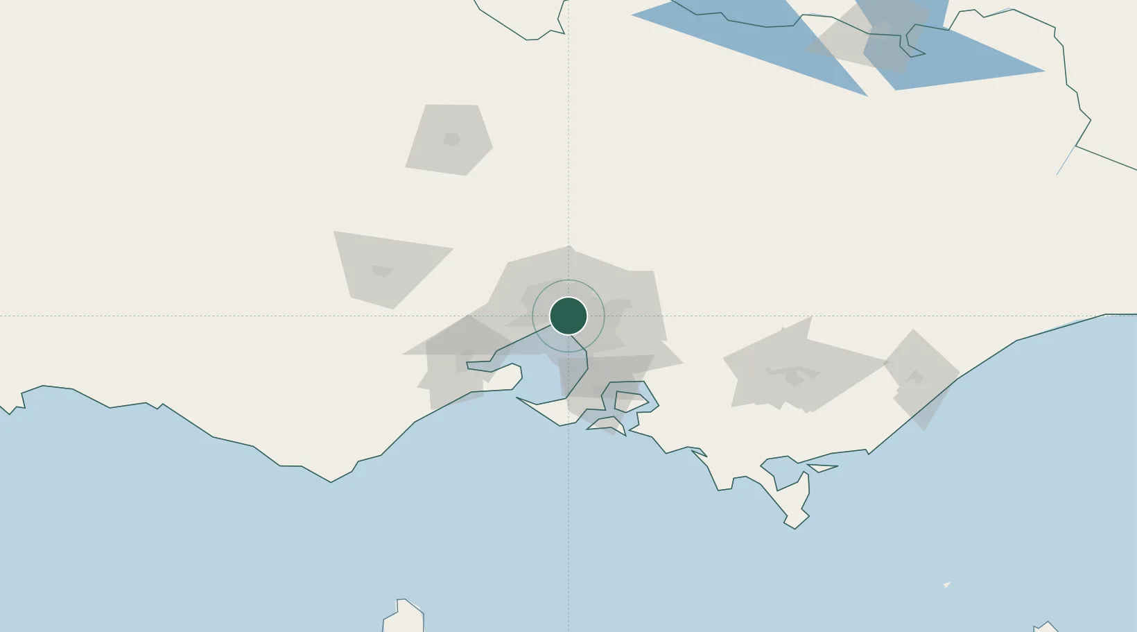
Location
Nearby Logistics Neighbours
Cities
- 1Prahran2 km
- 2Knoxfield4 km
- 3Collingwood4 km
- 4Malvern5 km
- 5Carlton5 km
Ports
- 1Melbourne3 km
- 2Western Port61 km
- 3Geelong66 km
- 4Welshpool160 km
- 5Warrnambool229 km
Airports
- 1Melbourne Essendon Airport15 km
- 2Melbourne Moorabbin Airport18 km
- 3Melbourne Airport23 km
- 4Melbourne Avalon International Airport52 km
- 5Bendigo Airport135 km
Trade Zones
DatabookThe Record of Consolidated Knowledge
Australia beyond logistics?