Transport Functions
Multimodal
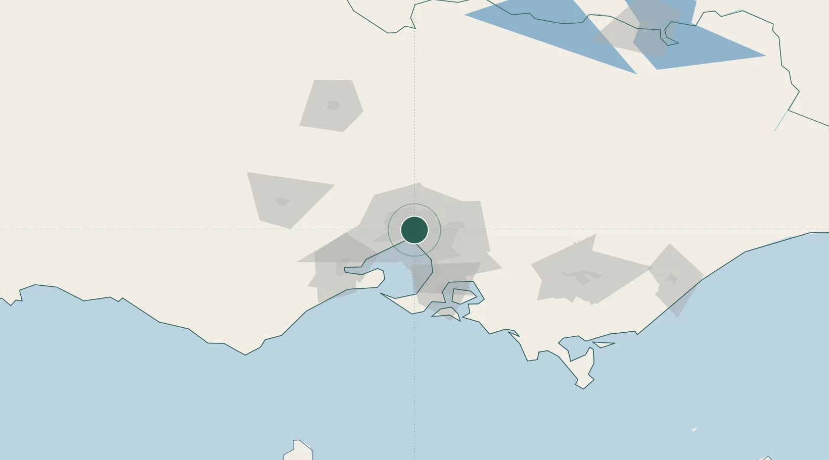
Hub Profile
Place type
Urban district
Region
Victoria
Population
16,055
Time zone
Australia/Melbourne
Elevation
53 m
Location
Nearby Logistics Neighbours
Cities
- 1Fitzroy0 km
- 2Collingwood2 km
- 3Knoxfield2 km
- 4Southbank2 km
- 5West Melbourne2 km
Ports
- 1Melbourne4 km
- 2Geelong65 km
- 3Western Port66 km
- 4Welshpool165 km
- 5Warrnambool227 km
Airports
- 1Melbourne Essendon Airport10 km
- 2Melbourne Airport18 km
- 3Melbourne Moorabbin Airport23 km
- 4Melbourne Avalon International Airport51 km
- 5Bendigo Airport131 km
Trade Zones
DatabookThe Record of Consolidated Knowledge
Australia beyond logistics?