UN/LOCODE hub · Australia
AUKNO

Knoxfield

-37.8167°, 144.9667°
7,645
Population
2
Transport functions

Transport Functions

Multimodal
Postal
UN/LOCODE

Hub Profile

Place type
Urban district
GeoNames
Region
Victoria
GeoNames
Population
7,645
GeoNames
Time zone
Australia/Melbourne
GeoNames
Elevation
90 m
GeoNames

Location

Location of AUKNO
Natural Earth 10m (public domain) · Victoria · AUKNO · -37.82, 144.97GoogleOSMYandex

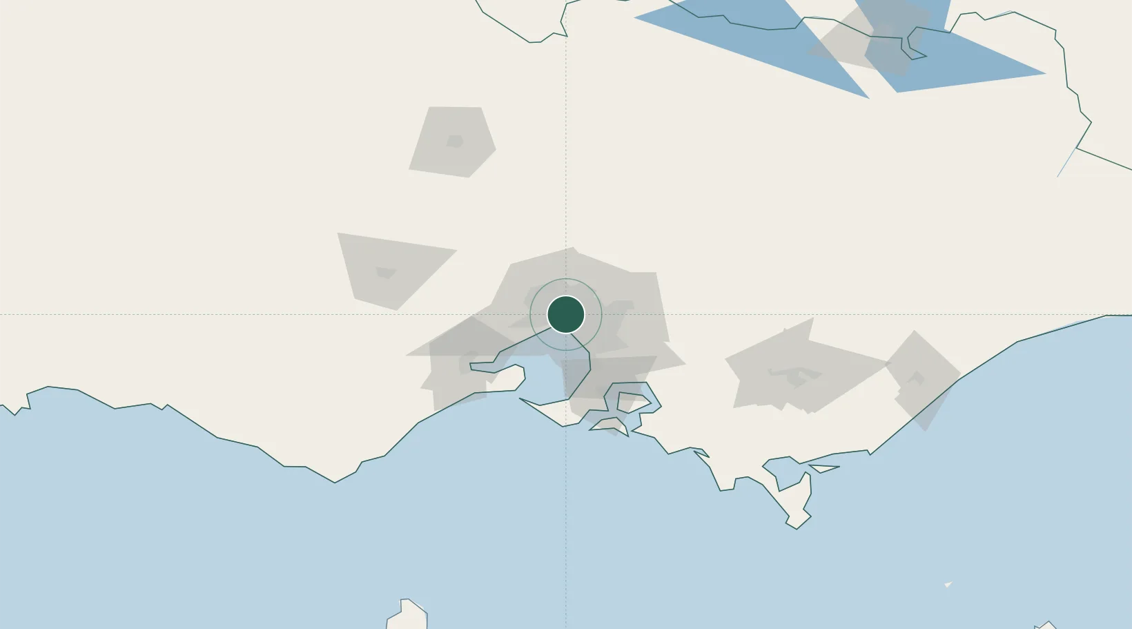
Nearby Logistics Neighbours

Cities
  1. 1Southbank2 km
  2. 2West Melbourne2 km
  3. 3Carlton2 km
  4. 4Fitzroy2 km
  5. 5Collingwood2 km
Nearest neighbours — logibook spatial index (haversine) over the source coordinates
Ports
  1. 1Melbourne2 km
  2. 2Western Port64 km
  3. 3Geelong64 km
  4. 4Welshpool164 km
  5. 5Warrnambool227 km
Nearest neighbours — logibook spatial index (haversine) over the source coordinates
Airports
  1. 1Melbourne Essendon Airport11 km
  2. 2Melbourne Airport20 km
  3. 3Melbourne Moorabbin Airport21 km
  4. 4Melbourne Avalon International Airport50 km
  5. 5Bendigo Airport132 km
Nearest neighbours — logibook spatial index (haversine) over the source coordinates
Trade Zones
  1. 1Latrobe Valley Economic Growth Zone133 km
  2. 2Paga Hill Estate Special Economic Zone3158 km
  3. 3Vanuatu Economic Development Zone3301 km
  4. 4Ihu Special Economic Zone3327 km
  5. 5Morobe Agricultural Special Economic Zone3466 km
Nearest neighbours — logibook spatial index (haversine) over the source coordinates
DatabookThe Record of Consolidated Knowledge
Australia beyond logistics?
Browse databook

All Sources

LocationsUN/LOCODE
UN/LOCODE — free
LocationsGeoNames
CC BY 4.0
Portsthe NGA World Port Index
Public domain (US gov)
AirportsOurAirports
Public domain
Trade Zonesthe World Bank SEZ database
CC BY 4.0
Trade ZonesOpen Zone Map
CC BY
← Australia locations