Transport Functions
Rail
Road
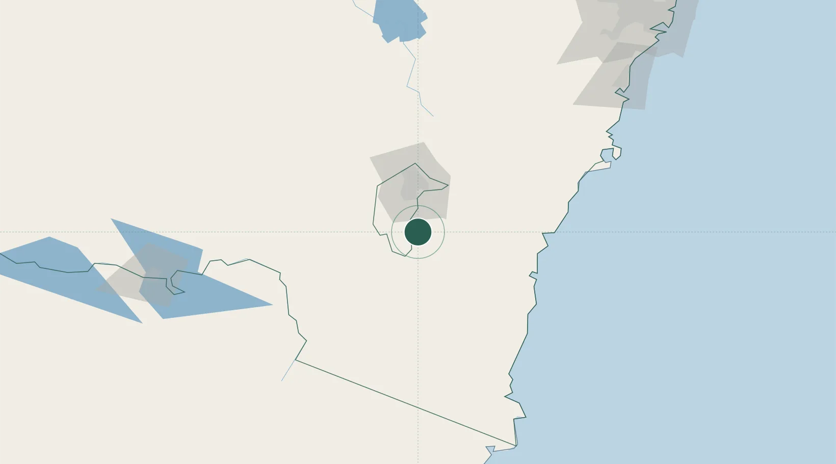
Hub Profile
Place type
Populated place
Region
New South Wales
Population
536
Time zone
Australia/Sydney
Elevation
699 m
Location
Nearby Logistics Neighbours
Cities
- 1Queanbeyan42 km
- 2Fyshwick/Canberra45 km
- 3Tarago85 km
- 4Nimmitabel88 km
- 5Yass101 km
Ports
- 1Batemans Bay92 km
- 2Jervis Bay164 km
- 3Eden165 km
- 4Port Kembla211 km
- 5Botany Bay269 km
Airports
- 1Canberra Airport46 km
- 2Cooma Snowy Mountains Airport67 km
- 3Gundaroo Airport75 km
- 4Moruya Airport92 km
- 5Tumut Aerodrome96 km
Trade Zones
DatabookThe Record of Consolidated Knowledge
Australia beyond logistics?