UN/LOCODE hub · Australia
AUPHP

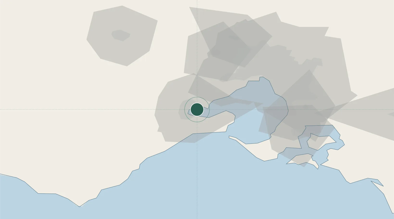
Point Henry Pier/Melbourne

-38.1167°, 144.4333°
2
Transport functions

Transport Functions

Port
Rail
UN/LOCODE

Hub Profile

Region
VIC
GeoNames

Location

Location of AUPHP
Natural Earth 10m (public domain) · VIC · AUPHP · -38.12, 144.43GoogleOSMYandex

Nearby Logistics Neighbours

Cities
  1. 1Corio Bay0 km
  2. 2Geelong West8 km
  3. 3North Geelong9 km
  4. 4Drysdale13 km
  5. 5Little River18 km
Nearest neighbours — logibook spatial index (haversine) over the source coordinates
Ports
  1. 1Geelong7 km
  2. 2Melbourne56 km
  3. 3Western Port75 km
  4. 4Warrnambool173 km
  5. 5Welshpool189 km
Nearest neighbours — logibook spatial index (haversine) over the source coordinates
Airports
  1. 1Melbourne Avalon International Airport9 km
  2. 2Melbourne Essendon Airport60 km
  3. 3Melbourne Moorabbin Airport60 km
  4. 4Melbourne Airport61 km
  5. 5Bendigo Airport153 km
Nearest neighbours — logibook spatial index (haversine) over the source coordinates
Trade Zones
  1. 1Latrobe Valley Economic Growth Zone172 km
  2. 2Paga Hill Estate Special Economic Zone3196 km
  3. 3Vanuatu Economic Development Zone3358 km
  4. 4Ihu Special Economic Zone3362 km
  5. 5Western Province Special Economic Zone3497 km
Nearest neighbours — logibook spatial index (haversine) over the source coordinates
DatabookThe Record of Consolidated Knowledge
Australia beyond logistics?
Browse databook

All Sources

LocationsUN/LOCODE
UN/LOCODE — free
Portsthe NGA World Port Index
Public domain (US gov)
AirportsOurAirports
Public domain
Trade Zonesthe World Bank SEZ database
CC BY 4.0
Trade ZonesOpen Zone Map
CC BY
← Australia locations