Transport Functions
Port
Multimodal
Hub Profile
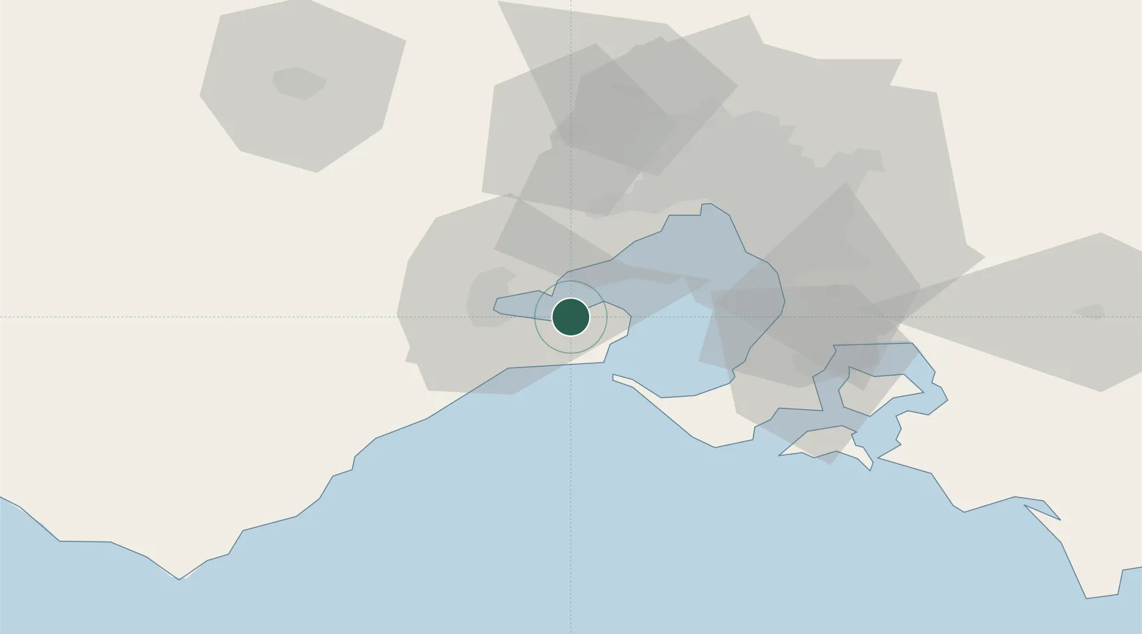
Place type
Populated place
Region
Victoria
Population
4,117
Time zone
Australia/Melbourne
Elevation
82 m
Location
Nearby Logistics Neighbours
Cities
- 1Corio Bay13 km
- 2Point Henry Pier/Melbourne13 km
- 3Geelong West19 km
- 4North Geelong21 km
- 5Little River23 km
Ports
- 1Geelong18 km
- 2Melbourne51 km
- 3Western Port62 km
- 4Welshpool176 km
- 5Warrnambool184 km
Airports
- 1Melbourne Avalon International Airport17 km
- 2Melbourne Moorabbin Airport51 km
- 3Melbourne Essendon Airport57 km
- 4Melbourne Airport60 km
- 5Bendigo Airport160 km
Trade Zones
DatabookThe Record of Consolidated Knowledge
Australia beyond logistics?