UN/LOCODE hub · Australia
AUGWT
Geelong West
-38.1333°, 144.3500°
6,775
Population
1
Transport functions
Transport Functions
Multimodal
Hub Profile
Place type
Urban district
Region
Victoria
Population
6,775
Time zone
Australia/Melbourne
Elevation
26 m
Location
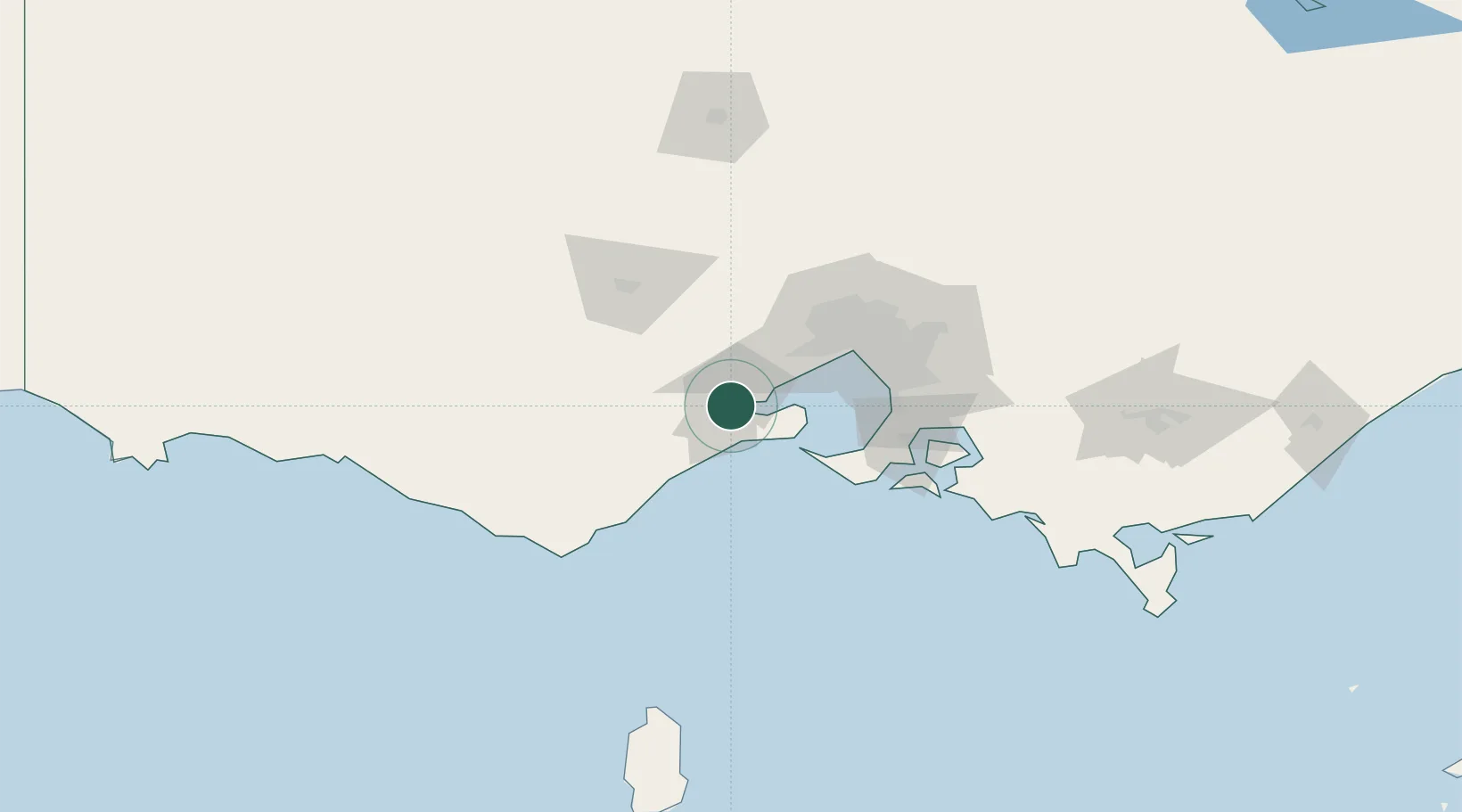
Nearby Logistics Neighbours
Cities
- 1North Geelong2 km
- 2Corio Bay8 km
- 3Point Henry Pier/Melbourne8 km
- 4Bannockburn19 km
- 5Drysdale19 km
Ports
- 1Geelong2 km
- 2Melbourne64 km
- 3Western Port81 km
- 4Warrnambool166 km
- 5Welshpool195 km
Airports
- 1Melbourne Avalon International Airport15 km
- 2Melbourne Essendon Airport66 km
- 3Melbourne Airport67 km
- 4Melbourne Moorabbin Airport68 km
- 5Ararat Airport151 km
Trade Zones
DatabookThe Record of Consolidated Knowledge
Australia beyond logistics?