Transport Functions
Rail
Road
Multimodal
Hub Profile
Place type
Urban district
Region
Victoria
Population
16,795
Time zone
Australia/Melbourne
Elevation
142 m
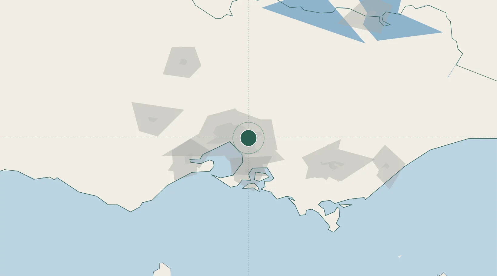
Location
Nearby Logistics Neighbours
Cities
- 1Vermont2 km
- 2Nunawading3 km
- 3Heathmont5 km
- 4Doncaster7 km
- 5Glen Waverley8 km
Ports
- 1Melbourne21 km
- 2Western Port59 km
- 3Geelong82 km
- 4Welshpool148 km
- 5Warrnambool246 km
Airports
Trade Zones
DatabookThe Record of Consolidated Knowledge
Australia beyond logistics?