Transport Functions
Rail
Road
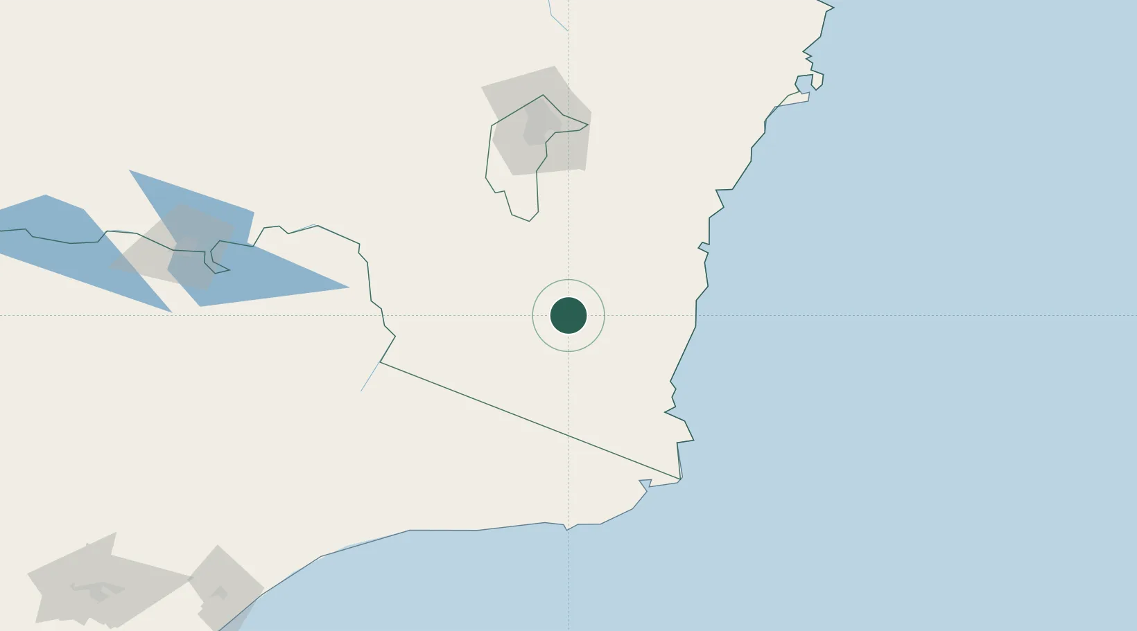
Hub Profile
Place type
Populated place
Region
New South Wales
Population
312
Time zone
Australia/Sydney
Elevation
1,082 m
Location
Nearby Logistics Neighbours
Cities
- 1Michelago88 km
- 2Queanbeyan128 km
- 3Fyshwick/Canberra132 km
- 4Tumbarumba139 km
- 5Tarago163 km
Ports
- 1Eden85 km
- 2Batemans Bay119 km
- 3Jervis Bay206 km
- 4Port Kembla269 km
- 5Botany Bay330 km
Airports
- 1Cooma Snowy Mountains Airport36 km
- 2Merimbula Airport71 km
- 3Moruya Airport102 km
- 4Corryong Airport130 km
- 5Canberra Airport133 km
Trade Zones
DatabookThe Record of Consolidated Knowledge
Australia beyond logistics?