Medium airport · Australia

Merimbula AirportYMER
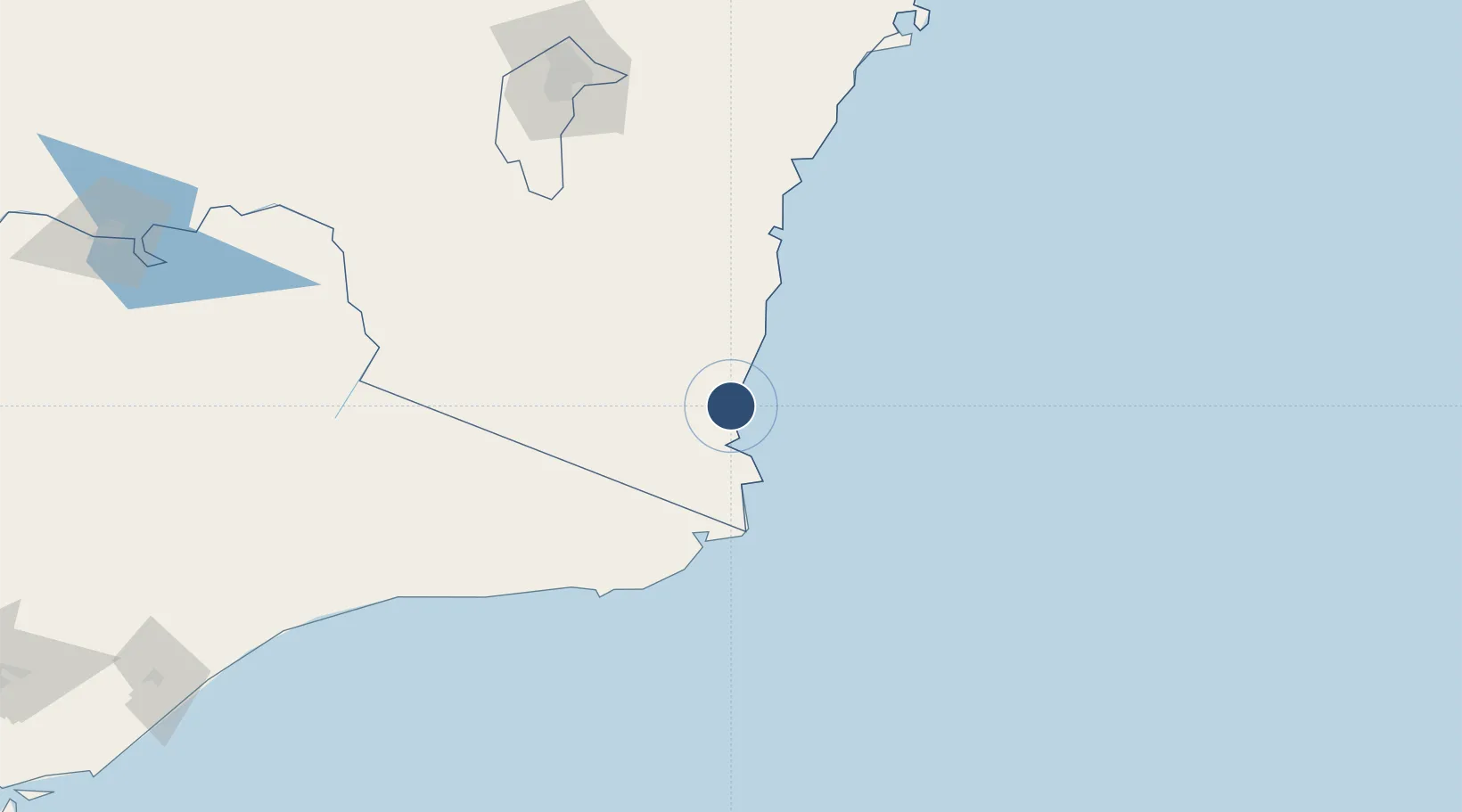
-36.9086°, 149.9010°
5,256 ft
Longest runway
1
Runways
7 ft
Elevation

Runway & Layout

Merimbula Airport runway & taxiway layout
Runway & taxiway layout — OpenStreetMap (ODbL) / OurAirports

Radio Frequencies

CTAF
126.7 MHz
FSS
120.75 MHz
MELBOURNE CNTR
OurAirports

Navaids

MER NDB-DME Merimbula 0.40 MHz
OurAirports

Runways · 1

RunwayDimensions SurfaceTrue headingLit
03/21 5,256 × 98ft Asphalt 034°
OurAirports

Airport Specifications

IATA code
MIM
OurAirports
ICAO code
YMER
OurAirports
Airport class
Medium airport
OurAirports
Scheduled service
Yes
OurAirports
Runway surface
Asphalt
OurAirports
Served city
Merimbula
OurAirports

Location

Location of YMER
Natural Earth 10m (public domain) · New South Wales · YMER · -36.91, 149.90GoogleOSMYandex

Nearby Logistics Neighbours

Airports
  1. 1Cooma Snowy Mountains Airport107 km
  2. 2Moruya Airport115 km
  3. 3Canberra Airport189 km
  4. 4Corryong Airport197 km
  5. 5Gundaroo Airport215 km
Nearest neighbours — logibook spatial index (haversine) over the source coordinates
Cities
  1. 1Nimmitabel71 km
  2. 2Michelago149 km
  3. 3Ulladulla179 km
  4. 4Queanbeyan183 km
  5. 5Fyshwick/Canberra189 km
Nearest neighbours — logibook spatial index (haversine) over the source coordinates
Ports
  1. 1Eden18 km
  2. 2Batemans Bay137 km
  3. 3Jervis Bay215 km
  4. 4Port Kembla285 km
  5. 5Botany Bay345 km
Nearest neighbours — logibook spatial index (haversine) over the source coordinates
Trade Zones
  1. 1Latrobe Valley Economic Growth Zone343 km
  2. 2Hicks Bay Area Special Economic Zone2491 km
  3. 3Vanuatu Economic Development Zone2927 km
  4. 4Paga Hill Estate Special Economic Zone3062 km
  5. 5Ihu Special Economic Zone3258 km
Nearest neighbours — logibook spatial index (haversine) over the source coordinates
DatabookThe Record of Consolidated Knowledge
Australia beyond logistics?
Browse databook

All Sources

AirportsOurAirports
Public domain
Portsthe NGA World Port Index
Public domain (US gov)
LocationsUN/LOCODE
UN/LOCODE — free
Trade Zonesthe World Bank SEZ database
CC BY 4.0
Trade ZonesOpen Zone Map
CC BY
InfrastructureOpenStreetMap
ODbL 1.0
← Australia airports