UN/LOCODE hub · Australia
AUELW
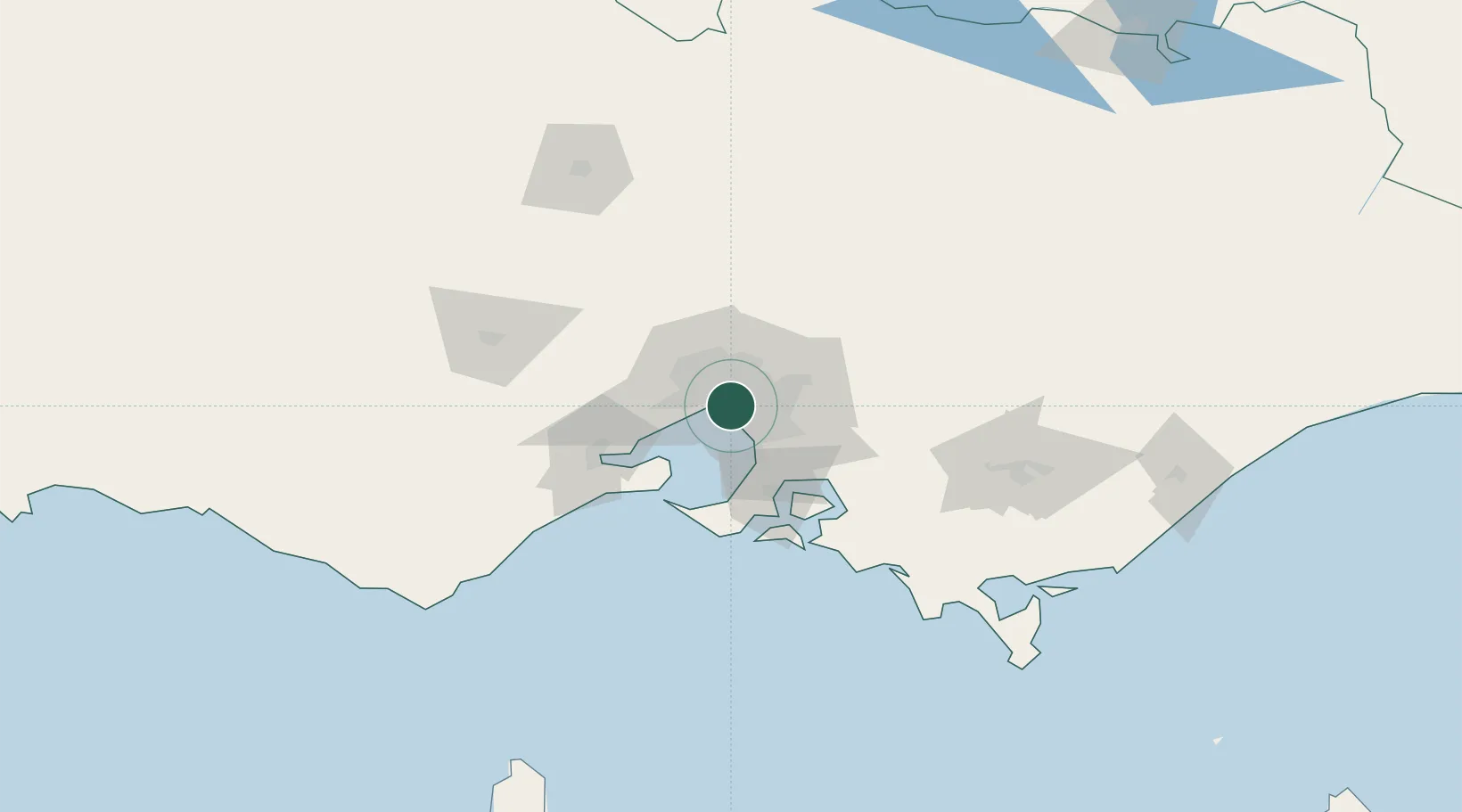
Elsternwick
-37.8833°, 145.0000°
10,887
Population
2
Transport functions
Transport Functions
Rail
Road
Hub Profile
Place type
Populated place
Region
Victoria
Population
10,887
Time zone
Australia/Melbourne
Elevation
22 m
Location
Nearby Logistics Neighbours
Ports
- 1Melbourne6 km
- 2Western Port56 km
- 3Geelong63 km
- 4Welshpool157 km
- 5Warrnambool228 km
Airports
Trade Zones
DatabookThe Record of Consolidated Knowledge
Australia beyond logistics?