UN/LOCODE hub · Australia
AUMBA
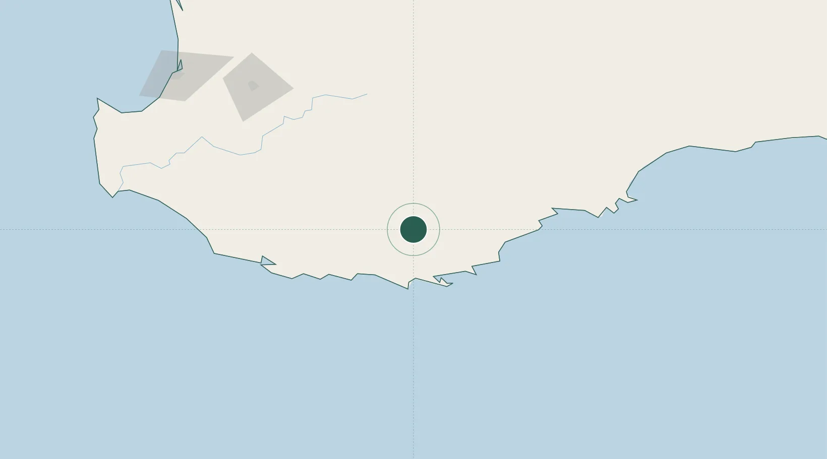
Mount Barker
-34.6333°, 117.6667°
2,682
Population
2
Transport functions
Transport Functions
Rail
Road
Hub Profile
Place type
Populated place
Region
Western Australia
Population
2,682
Time zone
Australia/Perth
Elevation
254 m
Location
Nearby Logistics Neighbours
Cities
- 1Denmark47 km
- 2Gnowangerup82 km
- 3Boyup Brook148 km
- 4Wagin150 km
- 5Pemberton151 km
Airports
- 1Albany Airport37 km
- 2Busselton Margaret River Regional Airport234 km
- 3Perth Jandakot Airport327 km
- 4Perth International Airport339 km
- 5RAAF Base Pearce364 km
Trade Zones
- 1KEK Mandalika2865 km
- 2Oecusse Ambeno Enclave Special Zone For Social Market Economy (Zeesm)2893 km
- 3KEK Singhasari3019 km
- 4Pasuruan Industrial Estate Rembang3046 km
- 5Atauro Special Economic Zone3047 km
DatabookThe Record of Consolidated Knowledge
Australia beyond logistics?