Transport Functions
Rail
Road
Hub Profile
Place type
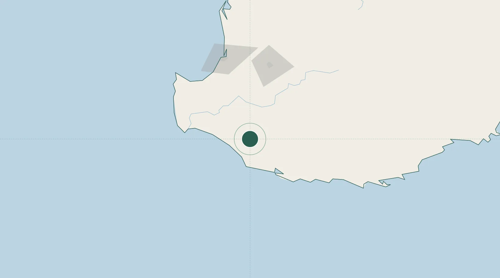
Populated place
Region
Western Australia
Population
1,016
Time zone
Australia/Perth
Elevation
125 m
Location
Nearby Logistics Neighbours
Cities
- 1Bridgetown55 km
- 2Nannup57 km
- 3Boyup Brook76 km
- 4Augusta81 km
- 5Capel107 km
Airports
- 1Busselton Margaret River Regional Airport103 km
- 2Albany Airport171 km
- 3Perth Jandakot Airport262 km
- 4Perth International Airport279 km
- 5RAAF Base Pearce309 km
Trade Zones
- 1KEK Mandalika2842 km
- 2Oecusse Ambeno Enclave Special Zone For Social Market Economy (Zeesm)2917 km
- 3KEK Singhasari2975 km
- 4Pasuruan Industrial Estate Rembang3003 km
- 5Ngoro Industrial Park3010 km
DatabookThe Record of Consolidated Knowledge
Australia beyond logistics?