Channel & Berth Profile
Pilotage, Tugs & Services
Pilotage compulsoryYES
Pilotage availableYES
Pilotage advisableYES
Tug assistanceYES
Salvage tugsNO
Shore powerYES
Potable waterYES
Diesel bunkersYES
MedicalYES
Garbage disposalYES
Facilities & Capabilities
ContainerNO
Ro-RoNO
Liquid bulkYES
Dry bulkYES
Oil terminal—
Break bulkYES
Dry dock—
RepairsNO
Bunkering—
Rail linkYES
Dangerous cargo—
ISPS security—
Harbour Specifications
Harbour size
Small
Harbour type
Coastal (Natural)
Shelter
Excellent
Water body
Indian Ocean
Tidal range
1 m
Pilotage
Yes
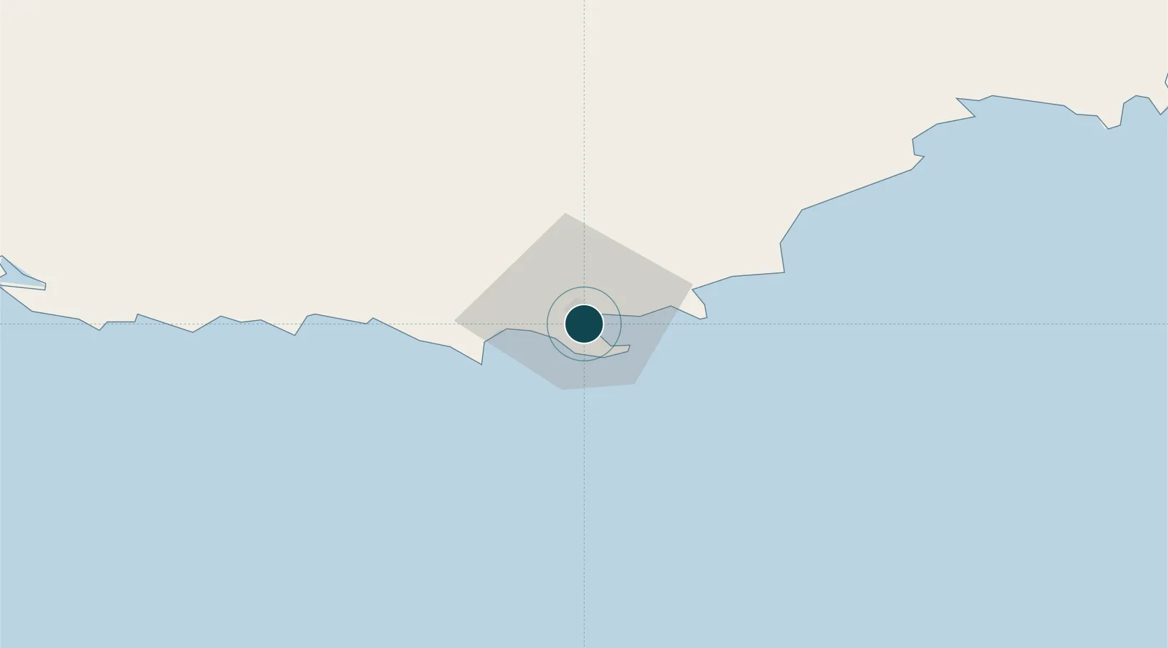
Location
Nearby Logistics Neighbours
Ports
- 1Bunbury282 km
- 2Fremantle386 km
- 3Esperance390 km
- 4Geraldton761 km
- 5Useless Loop1084 km
Cities
- 1Mount Barker49 km
- 2Denmark49 km
- 3Gnowangerup121 km
- 4Bremer Bay154 km
- 5Pemberton181 km
Airports
- 1Albany Airport12 km
- 2Busselton Margaret River Regional Airport273 km
- 3Perth Jandakot Airport376 km
- 4Perth International Airport387 km
- 5Esperance Airport392 km
Trade Zones
- 1KEK Mandalika2911 km
- 2Oecusse Ambeno Enclave Special Zone For Social Market Economy (Zeesm)2931 km
- 3KEK Singhasari3066 km
- 4Atauro Special Economic Zone3084 km
- 5Pasuruan Industrial Estate Rembang3093 km
DatabookThe Record of Consolidated Knowledge
Australia beyond logistics?