Seaport · Australia
EsperanceAUEPR
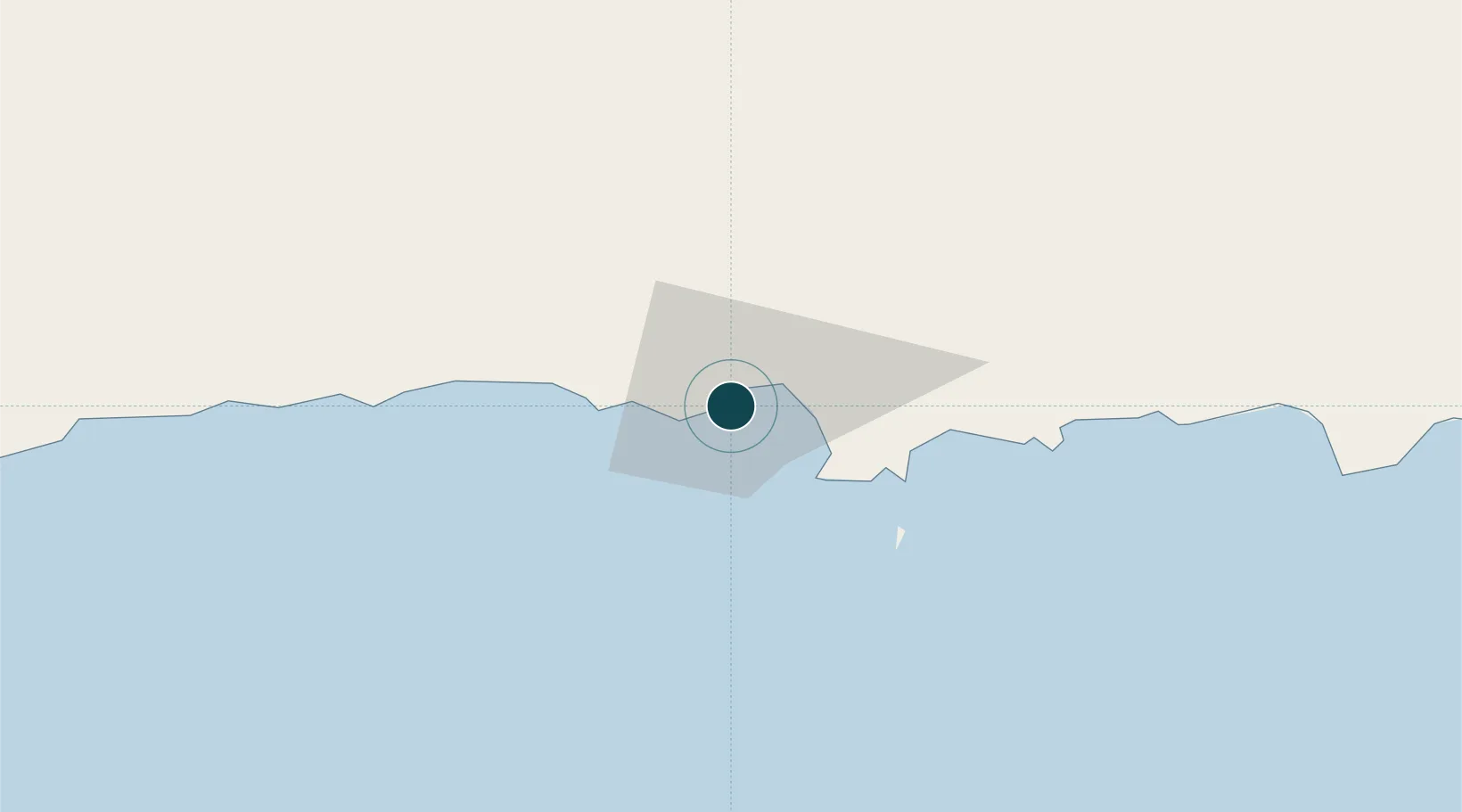
-33.8667°, 121.9000°
18.6 m
Channel depth
1
Container terminals
17.9
Port liner connectivity
Channel & Berth Profile
Pilotage, Tugs & Services
Pilotage compulsoryYES
Pilotage availableYES
Tug assistanceYES
Salvage tugsNO
Shore powerYES
Potable waterYES
Diesel bunkersYES
MedicalYES
Garbage disposalYES
Facilities & Capabilities
Container—
Ro-Ro—
Liquid bulk—
Dry bulk—
Oil terminal—
Break bulk—
Dry dock—
RepairsNO
Bunkering—
Rail linkYES
Dangerous cargo—
ISPS security—
Harbour Specifications
Harbour size
Very Small
Harbour type
Coastal (Breakwater)
Shelter
Good
Water body
Indian Ocean
Tidal range
1 m
Pilotage
Yes
Liner Connectivity
17.9
PLSCI
Port Liner Shipping Connectivity Index for Esperance, as published by UNCTAD for the latest available quarter. Higher values indicate stronger scheduled liner-shipping integration.
Shown relative to the highest per-port PLSCI in the dataset (1,657.9).
Location
Container Terminals · 1
QUBE PORTS ESPERANCE
QBESP QUBE PORTS PTY LTD
Nearby Logistics Neighbours
Cities
- 1Chadwick4 km
- 2Rocky Point197 km
- 3Bremer Bay240 km
- 4Hyden323 km
- 5Coolgardie332 km
Airports
- 1Esperance Airport22 km
- 2Kalgoorlie Boulder Airport344 km
- 3Albany Airport394 km
- 4Leonora Airport558 km
- 5Laverton Airport586 km
Trade Zones
- 1Latrobe Valley Economic Growth Zone2248 km
- 2Oecusse Ambeno Enclave Special Zone For Social Market Economy (Zeesm)2739 km
- 3KEK Mandalika2835 km
- 4Atauro Special Economic Zone2877 km
- 5KEK Singhasari3042 km
DatabookThe Record of Consolidated Knowledge
Australia beyond logistics?