Seaport · Australia
FremantleAUFRE
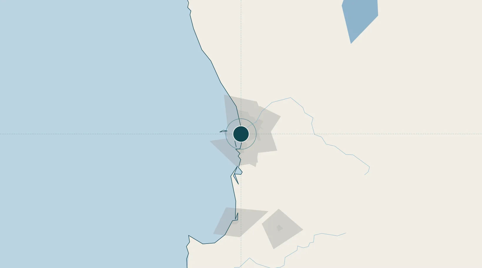
-32.0500°, 115.7500°
12.5 m
Channel depth
3
Container terminals
120.4
Port liner connectivity
Channel & Berth Profile
Pilotage, Tugs & Services
Pilotage compulsoryYES
Pilotage availableYES
Pilotage advisableYES
Tug assistanceYES
Shore powerYES
Potable waterYES
Diesel bunkersYES
MedicalYES
Garbage disposalYES
Facilities & Capabilities
ContainerYES
Ro-RoYES
Liquid bulkYES
Dry bulkYES
Oil terminalYES
Break bulkYES
Dry dockNO
RepairsNO
BunkeringYES
Rail linkYES
Dangerous cargo—
ISPS security—
Harbour Specifications
Harbour size
Large
Harbour type
Coastal (Breakwater)
Shelter
Good
Water body
Indian Ocean
Tidal range
1 m
Overhead limit
Yes
Pilotage
Yes
Liner Connectivity
120.4
PLSCI
Port Liner Shipping Connectivity Index for Fremantle, as published by UNCTAD for the latest available quarter. Higher values indicate stronger scheduled liner-shipping integration.
Shown relative to the highest per-port PLSCI in the dataset (1,657.9).
Location
Container Terminals · 3
PATRICK FREMANTLE CONTAINER TERMINAL
ASLFR PATRICK
DP WORLD FREMANTLE
CONFR DP WORLD (AUSTRALIA)
QUBE PORTS FREMANTLE
POPFRB QUBE PORTS PTY LTD
Nearby Logistics Neighbours
Ports
- 1Bunbury141 km
- 2Geraldton380 km
- 3Albany386 km
- 4Esperance608 km
- 5Useless Loop702 km
Cities
- 1Perth2 km
- 2Hamilton Hill2 km
- 3Bicton4 km
- 4Willagee5 km
- 5Attadale5 km
Airports
- 1Perth Jandakot Airport13 km
- 2Perth International Airport24 km
- 3RAAF Base Pearce49 km
- 4Busselton Margaret River Regional Airport185 km
- 5Karara Airport328 km
Trade Zones
- 1KEK Mandalika2575 km
- 2Oecusse Ambeno Enclave Special Zone For Social Market Economy (Zeesm)2675 km
- 3KEK Singhasari2707 km
- 4Pasuruan Industrial Estate Rembang2735 km
- 5Ngoro Industrial Park2742 km
DatabookThe Record of Consolidated Knowledge
Australia beyond logistics?