Transport Functions
Rail
Road
Hub Profile
Place type
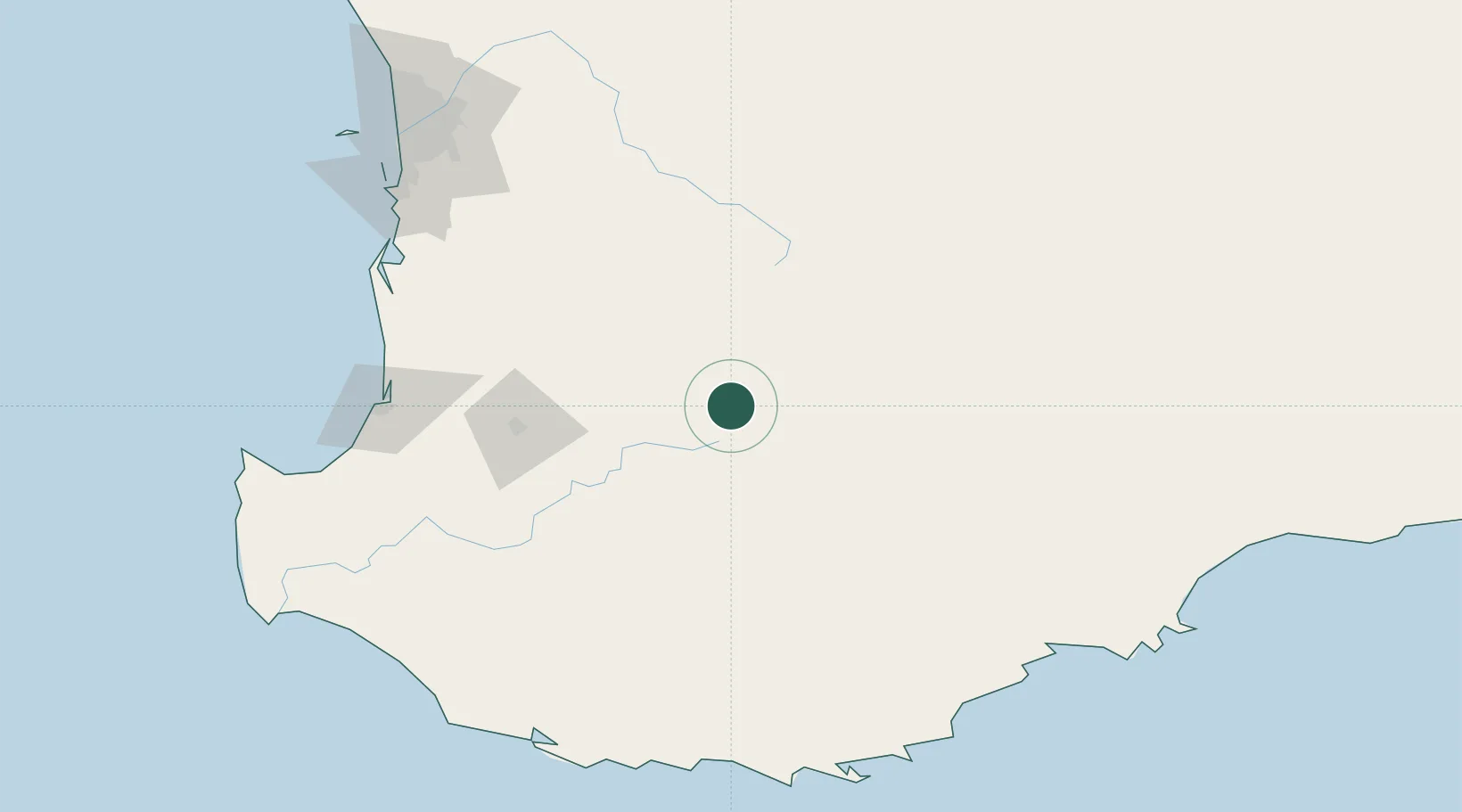
Populated place
Region
Western Australia
Population
1,433
Time zone
Australia/Perth
Elevation
264 m
Location
Nearby Logistics Neighbours
Cities
- 1Williams52 km
- 2Pingelly90 km
- 3Gnowangerup94 km
- 4Muja97 km
- 5Boyup Brook105 km
Airports
- 1Busselton Margaret River Regional Airport184 km
- 2Albany Airport186 km
- 3Perth Jandakot Airport192 km
- 4Perth International Airport200 km
- 5RAAF Base Pearce221 km
Trade Zones
- 1KEK Mandalika2718 km
- 2Oecusse Ambeno Enclave Special Zone For Social Market Economy (Zeesm)2761 km
- 3KEK Singhasari2869 km
- 4Pasuruan Industrial Estate Rembang2896 km
- 5Ngoro Industrial Park2905 km
DatabookThe Record of Consolidated Knowledge
Australia beyond logistics?