Medium airport · Australia
Perth Jandakot AirportYPJT
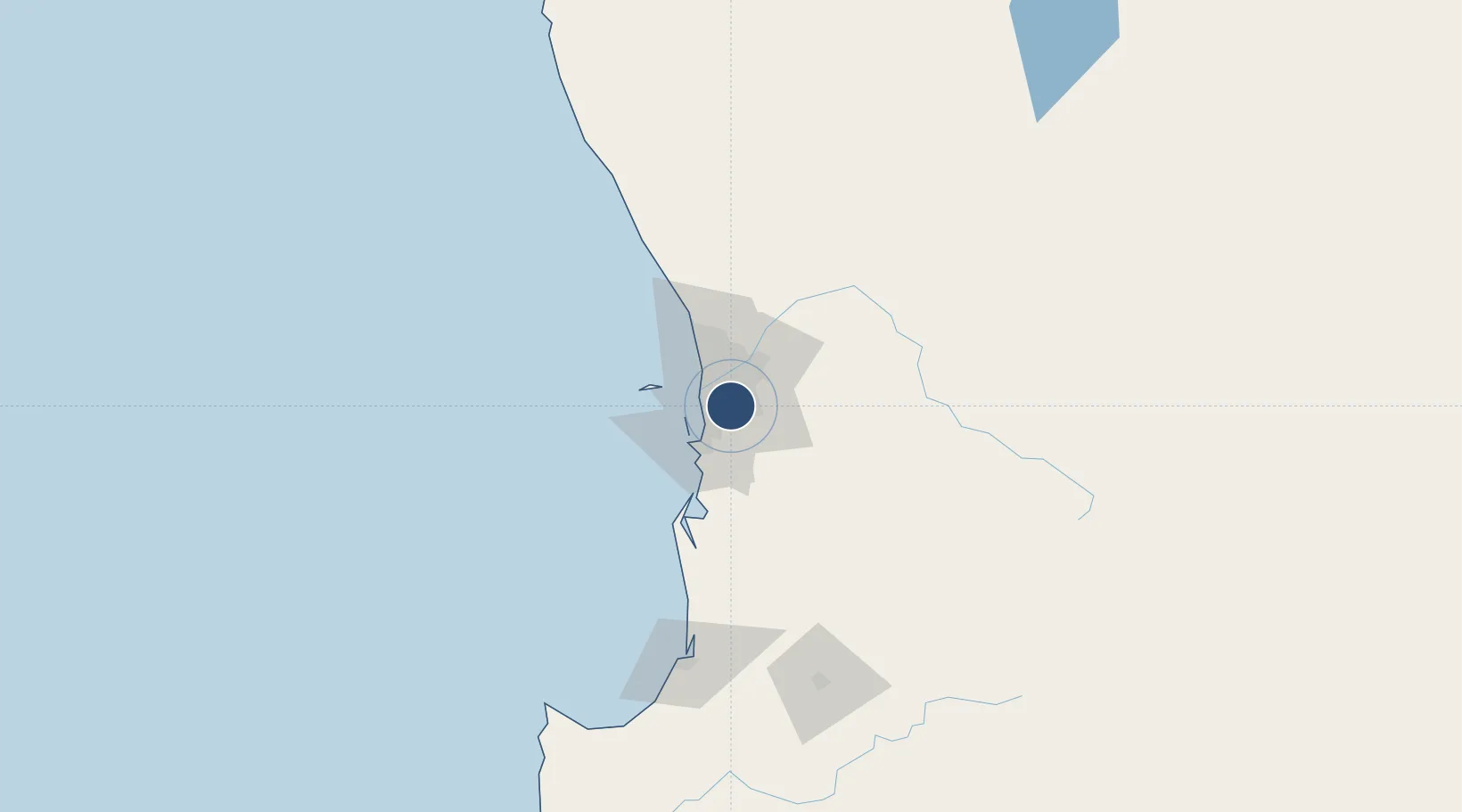
-32.0975°, 115.8810°
4,948 ft
Longest runway
3
Runways
99 ft
Elevation
Runway & Layout

Radio Frequencies
ATIS
128.65 MHz
TWR
118.1 MHz
GND
124.3 MHz
CLD
132.95 MHz
CLNC DEL
CTAF
118.1 MHz
FSS
135.25 MHz
RADAR
Navaids
JT NDB Jandakot 281 kHz
Runways · 3
| Runway | Dimensions | Surface | True heading | Lit |
|---|---|---|---|---|
| 12/30 | 4,948 × 98ft | Asphalt | 114° | ✓ |
| 06L/24R | 4,569 × 98ft | Asphalt | 054° | ✓ |
| 06R/24L | 3,773 × 59ft | Asphalt | 054° | — |
Airport Specifications
IATA code
JAD
ICAO code
YPJT
Airport class
Medium airport
Scheduled service
No
Runway surface
Asphalt
Served city
Perth
Location
Nearby Logistics Neighbours
Airports
- 1Perth International Airport19 km
- 2RAAF Base Pearce49 km
- 3Busselton Margaret River Regional Airport182 km
- 4Karara Airport329 km
- 5Albany Airport363 km
Cities
- 1Bibra Lake7 km
- 2Wilson9 km
- 3Willagee9 km
- 4Fremantle10 km
- 5Applecross10 km
Trade Zones
- 1KEK Mandalika2580 km
- 2Oecusse Ambeno Enclave Special Zone For Social Market Economy (Zeesm)2676 km
- 3KEK Singhasari2713 km
- 4Pasuruan Industrial Estate Rembang2742 km
- 5Ngoro Industrial Park2749 km
DatabookThe Record of Consolidated Knowledge
Australia beyond logistics?