Small airport · Australia

Busselton Margaret River Regional AirportYBLN
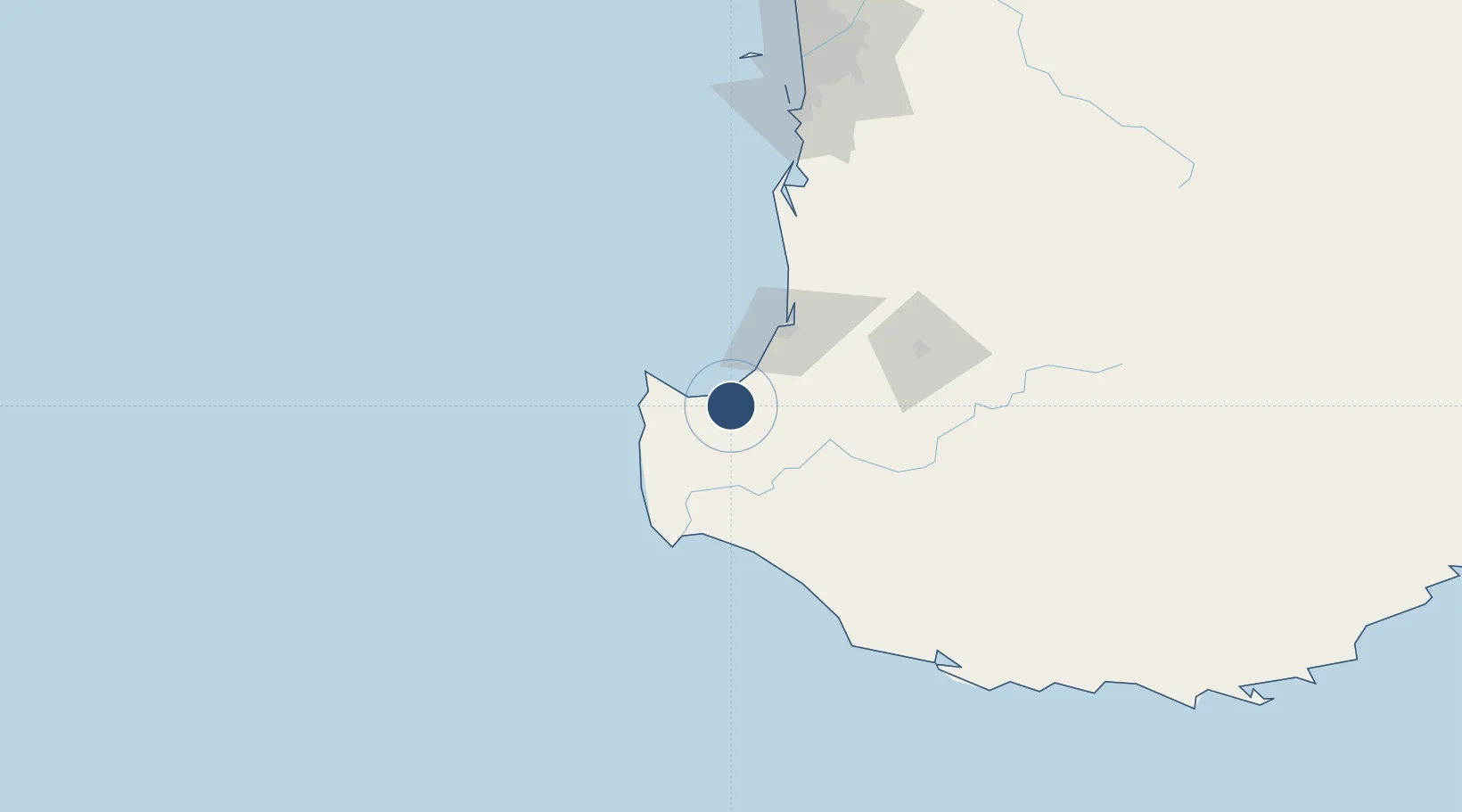
-33.6872°, 115.4003°
8,071 ft
Longest runway
1
Runways
55 ft
Elevation

Runway & Layout

Busselton Margaret River Regional Airport runway & taxiway layout
Runway & taxiway layout — OpenStreetMap (ODbL) / OurAirports

Radio Frequencies

CTAF
126.7 MHz
FSS
124.9 MHz
MELBOURNE CNTR
OurAirports

Navaids

BLN NDB Busselton 386 kHz
OurAirports

Runways · 1

RunwayDimensions SurfaceTrue headingLit
03/21 8,071 × 148ft Asphalt 026°
OurAirports

Airport Specifications

IATA code
BQB
OurAirports
ICAO code
YBLN
OurAirports
Airport class
Small airport
OurAirports
Scheduled service
Yes
OurAirports
Runway surface
Asphalt
OurAirports
Served city
Busselton
OurAirports

Location

Location of YBLN
Natural Earth 10m (public domain) · Western Australia · YBLN · -33.69, 115.40GoogleOSMYandex

Nearby Logistics Neighbours

Airports
  1. 1Perth Jandakot Airport182 km
  2. 2Perth International Airport201 km
  3. 3RAAF Base Pearce232 km
  4. 4Albany Airport262 km
  5. 5Karara Airport512 km
Nearest neighbours — logibook spatial index (haversine) over the source coordinates
Cities
  1. 1Capel20 km
  2. 2Cowaramup35 km
  3. 3Boyanup37 km
  4. 4Dardanup46 km
  5. 5Nannup47 km
Nearest neighbours — logibook spatial index (haversine) over the source coordinates
Ports
  1. 1Bunbury47 km
  2. 2Fremantle185 km
  3. 3Albany273 km
  4. 4Geraldton551 km
  5. 5Esperance601 km
Nearest neighbours — logibook spatial index (haversine) over the source coordinates
Trade Zones
  1. 1KEK Mandalika2758 km
  2. 2Oecusse Ambeno Enclave Special Zone For Social Market Economy (Zeesm)2857 km
  3. 3KEK Singhasari2883 km
  4. 4Pasuruan Industrial Estate Rembang2912 km
  5. 5Ngoro Industrial Park2919 km
Nearest neighbours — logibook spatial index (haversine) over the source coordinates
DatabookThe Record of Consolidated Knowledge
Australia beyond logistics?
Browse databook

All Sources

AirportsOurAirports
Public domain
Portsthe NGA World Port Index
Public domain (US gov)
LocationsUN/LOCODE
UN/LOCODE — free
Trade Zonesthe World Bank SEZ database
CC BY 4.0
Trade ZonesOpen Zone Map
CC BY
InfrastructureOpenStreetMap
ODbL 1.0
← Australia airports