Medium airport · Australia
RAAF Base PearceYPEA
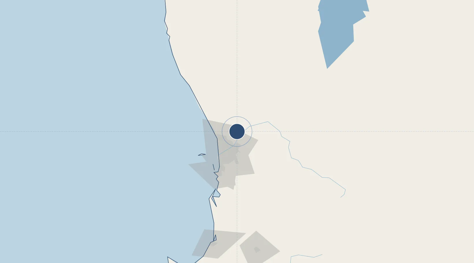
-31.6678°, 116.0150°
8,002 ft
Longest runway
3
Runways
149 ft
Elevation
Runway & Layout

Radio Frequencies
ATIS
34 MHz
TWR
118.3 MHz
GND
127.25 MHz
CLD
134.1 MHz
CLNC DEL
APP
130.2 MHz
DEP
135.9 MHz
CTAF
118.3 MHz
A/D
118.7 MHz
PERTH DEP
ACC
125.2 MHz
MELBOURNE CNTR
DIR
123.6 MHz
PERTH APP
Navaids
PEA TACAN Pearce 112.80 MHz
PEA NDB Pearce 340 kHz
Runways · 3
| Runway | Dimensions | Surface | True heading | Lit |
|---|---|---|---|---|
| 18L/36R | 8,002 × 148ft | Asphalt | 174° | ✓ |
| 18R/36L | 5,712 × 98ft | Asphalt | 173° | — |
| 05/23 | 5,548 × 148ft | Asphalt | 045° | ✓ |
Airport Specifications
ICAO code
YPEA
Airport class
Medium airport
Scheduled service
No
Runway surface
Asphalt
Served city
Bullsbrook
Location
Nearby Logistics Neighbours
Airports
- 1Perth International Airport31 km
- 2Perth Jandakot Airport49 km
- 3Busselton Margaret River Regional Airport232 km
- 4Karara Airport280 km
- 5Geraldton Airport343 km
Cities
- 1Bullsbrook1 km
- 2Muchea10 km
- 3Chittering22 km
- 4Wangara23 km
- 5Malaga23 km
Trade Zones
- 1KEK Mandalika2532 km
- 2Oecusse Ambeno Enclave Special Zone For Social Market Economy (Zeesm)2627 km
- 3KEK Singhasari2668 km
- 4Pasuruan Industrial Estate Rembang2696 km
- 5Ngoro Industrial Park2704 km
DatabookThe Record of Consolidated Knowledge
Australia beyond logistics?