Transport Functions
Rail
Road
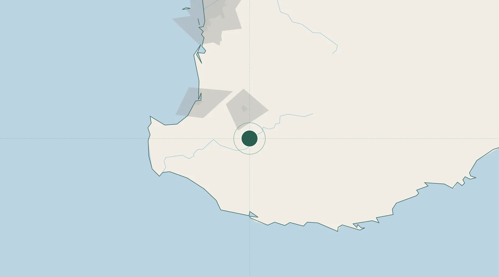
Hub Profile
Place type
Populated place
Region
Western Australia
Population
873
Time zone
Australia/Perth
Elevation
217 m
Location
Nearby Logistics Neighbours
Cities
- 1Bridgetown27 km
- 2Muja45 km
- 3Nannup59 km
- 4Boyanup73 km
- 5Pemberton76 km
Airports
- 1Busselton Margaret River Regional Airport92 km
- 2Albany Airport180 km
- 3Perth Jandakot Airport199 km
- 4Perth International Airport214 km
- 5RAAF Base Pearce243 km
Trade Zones
- 1KEK Mandalika2773 km
- 2Oecusse Ambeno Enclave Special Zone For Social Market Economy (Zeesm)2842 km
- 3KEK Singhasari2911 km
- 4Pasuruan Industrial Estate Rembang2939 km
- 5Ngoro Industrial Park2947 km
DatabookThe Record of Consolidated Knowledge
Australia beyond logistics?