Transport Functions
Rail
Road
Hub Profile
Place type
Populated place
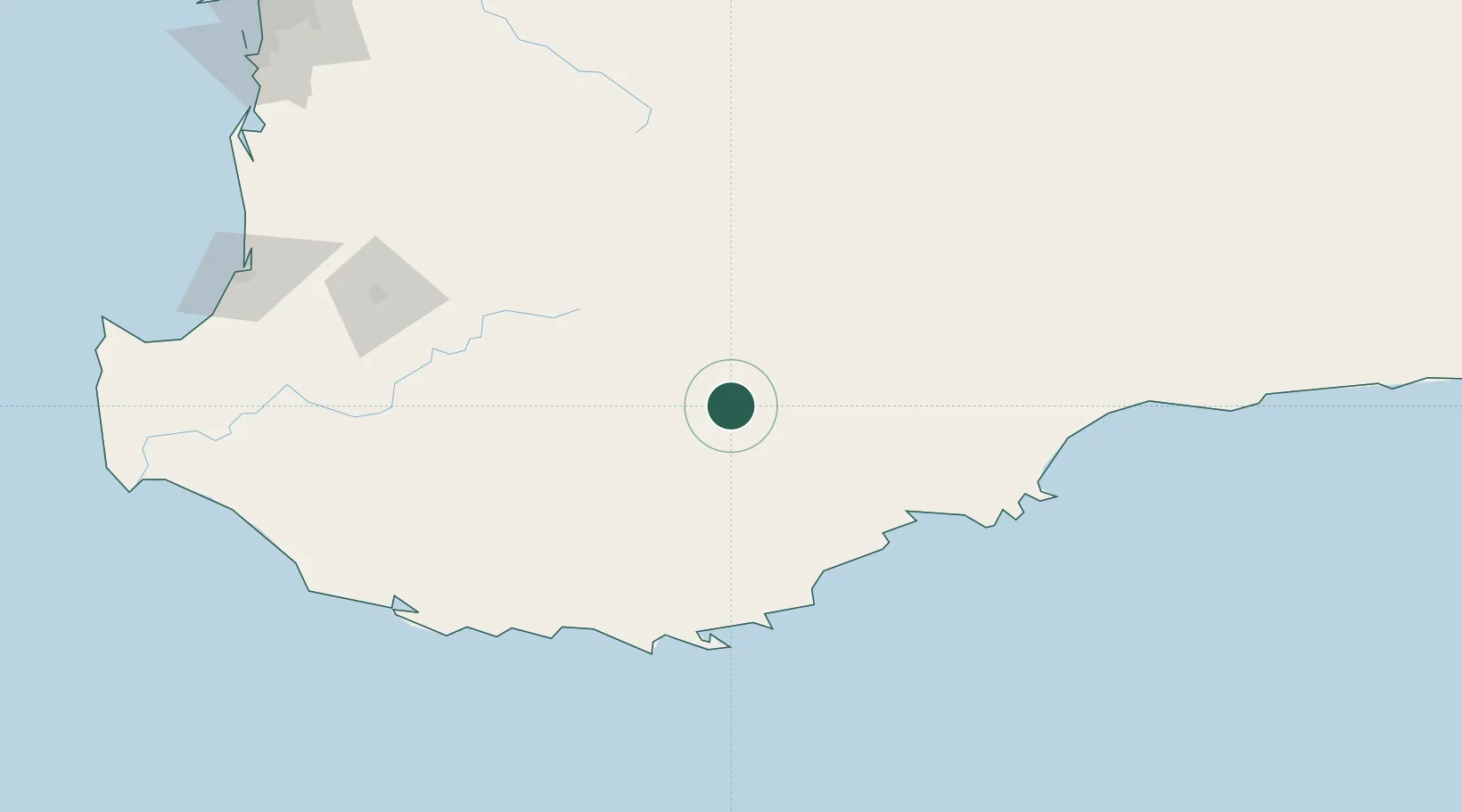
Region
Western Australia
Population
594
Time zone
Australia/Perth
Elevation
261 m
Location
Nearby Logistics Neighbours
Cities
- 1Mount Barker82 km
- 2Wagin94 km
- 3Denmark128 km
- 4Bremer Bay135 km
- 5Williams145 km
Airports
- 1Albany Airport112 km
- 2Busselton Margaret River Regional Airport242 km
- 3Perth Jandakot Airport285 km
- 4Perth International Airport293 km
- 5RAAF Base Pearce314 km
Trade Zones
- 1KEK Mandalika2791 km
- 2Oecusse Ambeno Enclave Special Zone For Social Market Economy (Zeesm)2812 km
- 3KEK Singhasari2950 km
- 4Atauro Special Economic Zone2965 km
- 5Pasuruan Industrial Estate Rembang2977 km
DatabookThe Record of Consolidated Knowledge
Australia beyond logistics?