Large airport · Australia
Perth International AirportYPPH
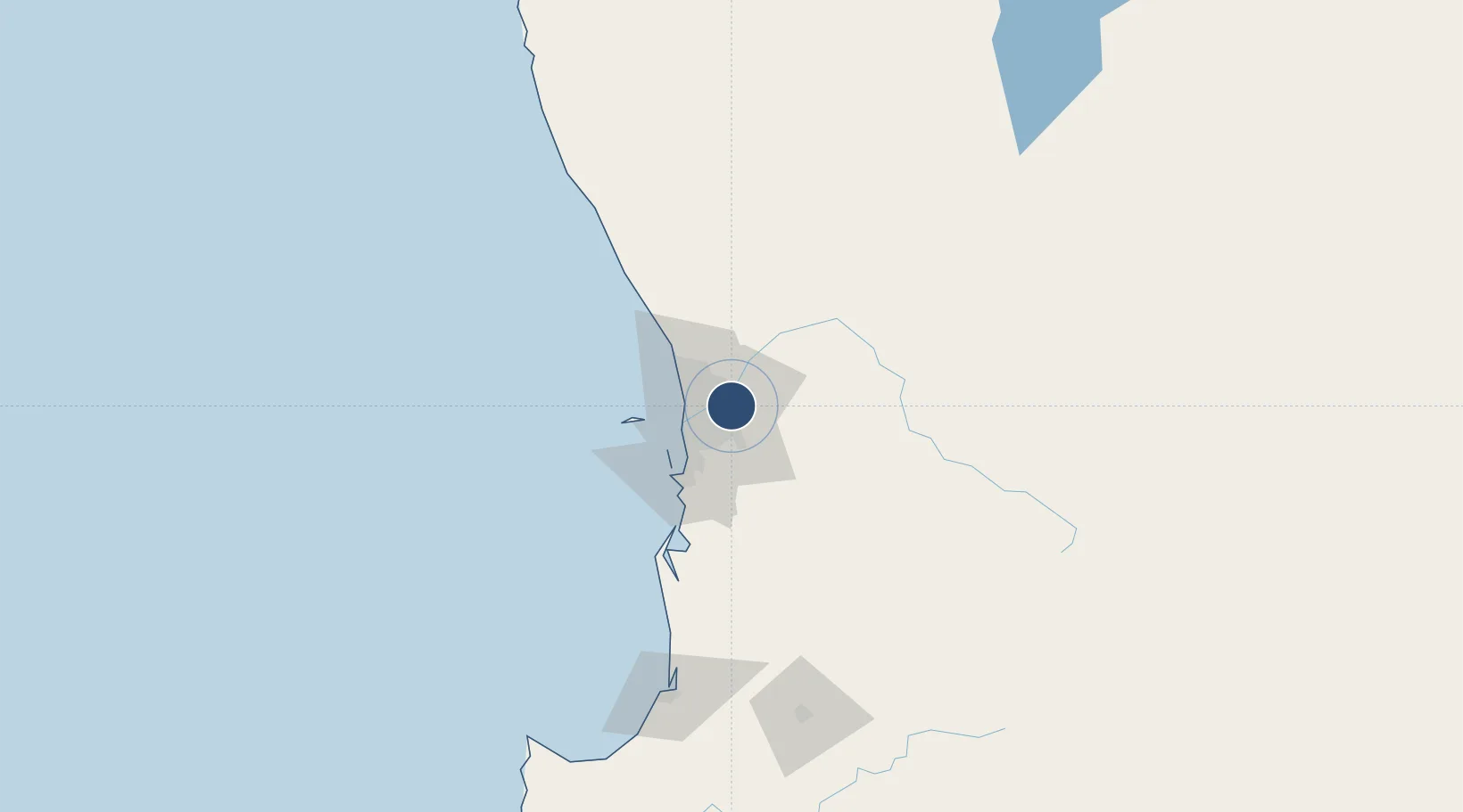
-31.9403°, 115.9670°
11,299 ft
Longest runway
2
Runways
67 ft
Elevation
Runway & Layout

Radio Frequencies
ATIS
123.8 MHz
TWR
127.4 MHz
GND
121.7 MHz
GND
122.2 MHz
DEL
118.55 MHz
APP/DEL
123.6 MHz
APP/DEP
132.95 MHz
CTR
135.25 MHz
PERTH RADAR
D
118.7 MHz
OPS
897.4 MHz
RAAF AIR OPS
Navaids
CVM NDB Caversham 329 kHz
PH VOR-DME Perth 113.70 MHz
PH NDB Perth 272 kHz
PRL NDB Parkerville 352 kHz
Runways · 2
| Runway | Dimensions | Surface | True heading | Lit |
|---|---|---|---|---|
| 03/21 | 11,299 × 148ft | Asphalt | 014° | ✓ |
| 06/24 | 7,096 × 148ft | Asphalt | 059° | ✓ |
Airport Specifications
IATA code
PER
ICAO code
YPPH
Airport class
Large airport
Scheduled service
Yes
Runway surface
Asphalt
Served city
Perth
Location
Nearby Logistics Neighbours
Airports
- 1Perth Jandakot Airport19 km
- 2RAAF Base Pearce31 km
- 3Busselton Margaret River Regional Airport201 km
- 4Karara Airport311 km
- 5Geraldton Airport370 km
Cities
- 1Ashfield4 km
- 2Kewdale5 km
- 3Ascot5 km
- 4Forrestfield6 km
- 5Welshpool6 km
Trade Zones
- 1KEK Mandalika2563 km
- 2Oecusse Ambeno Enclave Special Zone For Social Market Economy (Zeesm)2657 km
- 3KEK Singhasari2697 km
- 4Pasuruan Industrial Estate Rembang2725 km
- 5Ngoro Industrial Park2733 km
DatabookThe Record of Consolidated Knowledge
Australia beyond logistics?