Transport Functions
Rail
Road
Hub Profile
Place type
Populated place
Region
Western Australia
Population
2,613
Time zone
Australia/Perth
Elevation
25 m
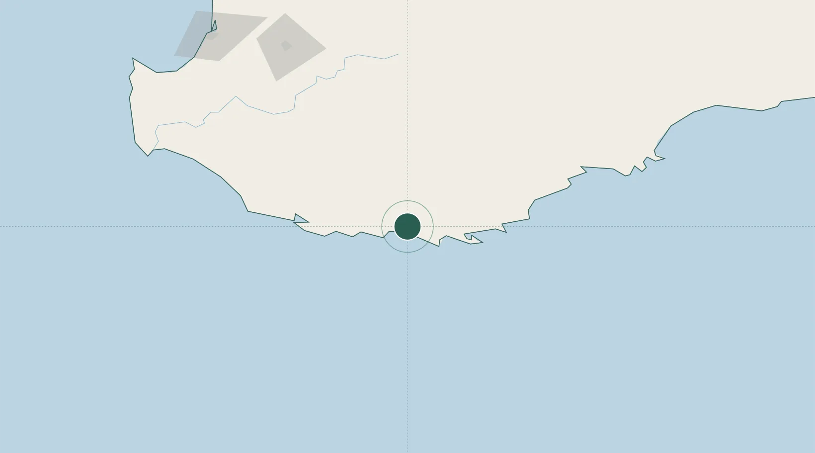
Location
Nearby Logistics Neighbours
Cities
- 1Mount Barker47 km
- 2Gnowangerup128 km
- 3Pemberton133 km
- 4Boyup Brook154 km
- 5Bridgetown158 km
Airports
- 1Albany Airport42 km
- 2Busselton Margaret River Regional Airport229 km
- 3Perth Jandakot Airport347 km
- 4Perth International Airport360 km
- 5RAAF Base Pearce387 km
Trade Zones
- 1KEK Mandalika2901 km
- 2Oecusse Ambeno Enclave Special Zone For Social Market Economy (Zeesm)2937 km
- 3KEK Singhasari3050 km
- 4Pasuruan Industrial Estate Rembang3077 km
- 5Ngoro Industrial Park3085 km
DatabookThe Record of Consolidated Knowledge
Australia beyond logistics?