Medium airport · Australia
Albany AirportYABA
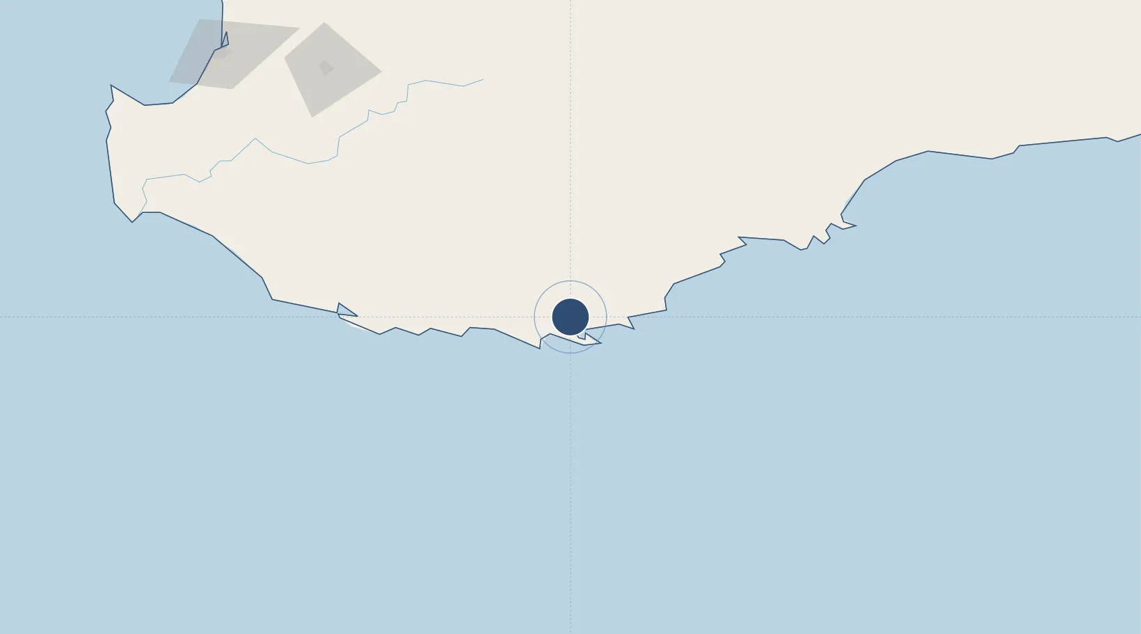
-34.9433°, 117.8089°
5,906 ft
Longest runway
2
Runways
233 ft
Elevation
Runway & Layout

Radio Frequencies
CTAF
127.85 MHz
FSS
123.9 MHz
MELBOURNE CNTR
Navaids
ABA NDB-DME Albany 0.24 MHz
Runways · 2
| Runway | Dimensions | Surface | True heading | Lit |
|---|---|---|---|---|
| 14/32 | 5,906 × 98ft | Asphalt | 134° | ✓ |
| 05/23 | 3,596 × 98ft | Gravel | 045° | ✓ |
Airport Specifications
IATA code
ALH
ICAO code
YABA
Airport class
Medium airport
Scheduled service
Yes
Runway surface
Asphalt
Served city
Albany
Location
Nearby Logistics Neighbours
Airports
- 1Busselton Margaret River Regional Airport262 km
- 2Perth Jandakot Airport363 km
- 3Perth International Airport375 km
- 4Esperance Airport394 km
- 5RAAF Base Pearce401 km
Cities
- 1Mount Barker37 km
- 2Denmark42 km
- 3Gnowangerup112 km
- 4Bremer Bay156 km
- 5Pemberton171 km
Trade Zones
- 1KEK Mandalika2901 km
- 2Oecusse Ambeno Enclave Special Zone For Social Market Economy (Zeesm)2923 km
- 3KEK Singhasari3055 km
- 4Atauro Special Economic Zone3076 km
- 5Pasuruan Industrial Estate Rembang3082 km
DatabookThe Record of Consolidated Knowledge
Australia beyond logistics?