UN/LOCODE hub · Australia
AUANN

Annandale

-33.8833°, 151.1667°
9,259
Population
2
Transport functions

Transport Functions

Port
Multimodal
UN/LOCODE

Hub Profile

Place type
Urban district
GeoNames
Region
New South Wales
GeoNames
Population
9,259
GeoNames
Time zone
Australia/Sydney
GeoNames
Elevation
20 m
GeoNames

Location

Location of AUANN
Natural Earth 10m (public domain) · New South Wales · AUANN · -33.88, 151.17GoogleOSMYandex

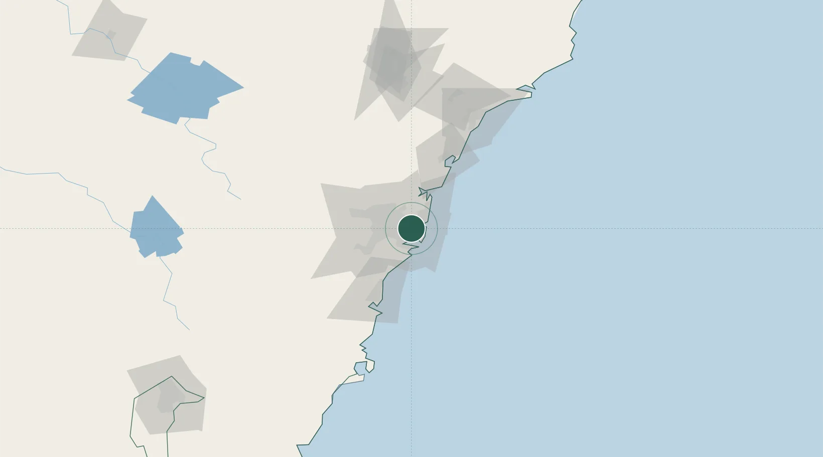
Nearby Logistics Neighbours

Cities
  1. 1Camperdown0 km
  2. 2Stanmore2 km
  3. 3Pyrmont2 km
  4. 4Lilyfield2 km
  5. 5Chippendale3 km
Nearest neighbours — logibook spatial index (haversine) over the source coordinates
Ports
  1. 1Sydney4 km
  2. 2Botany Bay14 km
  3. 3Port Kembla71 km
  4. 4Newcastle122 km
  5. 5Jervis Bay141 km
Nearest neighbours — logibook spatial index (haversine) over the source coordinates
Airports
  1. 1Sydney Kingsford Smith International Airport7 km
  2. 2Sydney Bankstown Airport17 km
  3. 3Palm Beach Seaplane Base36 km
  4. 4RAAF Base Richmond47 km
  5. 5Camden Airport48 km
Nearest neighbours — logibook spatial index (haversine) over the source coordinates
Trade Zones
  1. 1Latrobe Valley Economic Growth Zone647 km
  2. 2Hicks Bay Area Special Economic Zone2460 km
  3. 3Vanuatu Economic Development Zone2598 km
  4. 4Paga Hill Estate Special Economic Zone2744 km
  5. 5Tulagi Island Special Economic Zone2904 km
Nearest neighbours — logibook spatial index (haversine) over the source coordinates
DatabookThe Record of Consolidated Knowledge
Australia beyond logistics?
Browse databook

All Sources

LocationsUN/LOCODE
UN/LOCODE — free
LocationsGeoNames
CC BY 4.0
Portsthe NGA World Port Index
Public domain (US gov)
AirportsOurAirports
Public domain
Trade Zonesthe World Bank SEZ database
CC BY 4.0
Trade ZonesOpen Zone Map
CC BY
← Australia locations