Transport Functions
Rail
Road
Multimodal
Hub Profile
Place type
Urban district
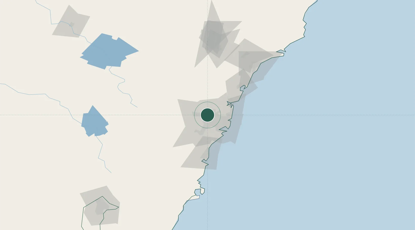
Region
New South Wales
Population
46,942
Time zone
Australia/Sydney
Elevation
67 m
Location
Nearby Logistics Neighbours
Cities
- 1Marayong2 km
- 2Arndell Park4 km
- 3Kings Park4 km
- 4Pendle Hills6 km
- 5Glendenning6 km
Ports
- 1Sydney30 km
- 2Botany Bay40 km
- 3Port Kembla80 km
- 4Newcastle125 km
- 5Jervis Bay150 km
Airports
Trade Zones
DatabookThe Record of Consolidated Knowledge
Australia beyond logistics?