Transport Functions
Port
Multimodal
Hub Profile
Place type
Populated place
Region
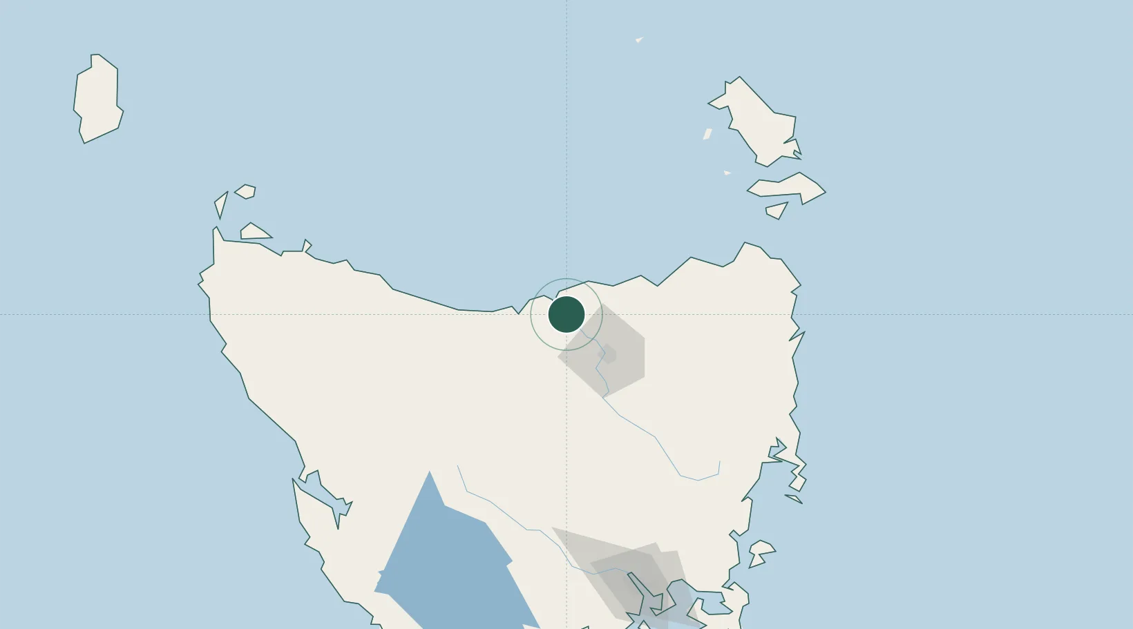
Tasmania
Population
211
Time zone
Australia/Hobart
Elevation
30 m
Location
Nearby Logistics Neighbours
Cities
- 1Deviot7 km
- 2Bell Bay11 km
- 3Swan Bay15 km
- 4Gravelly Beach15 km
- 5Lalla26 km
Ports
- 1Beauty Point7 km
- 2Port Dalrymple7 km
- 3Launceston36 km
- 4Devonport43 km
- 5Burnie80 km
Airports
- 1Devonport Airport38 km
- 2Launceston Airport49 km
- 3Wynyard Airport99 km
- 4Flinders Island Airport153 km
- 5Smithton Airport156 km
Trade Zones
DatabookThe Record of Consolidated Knowledge
Australia beyond logistics?