UN/LOCODE hub · Australia
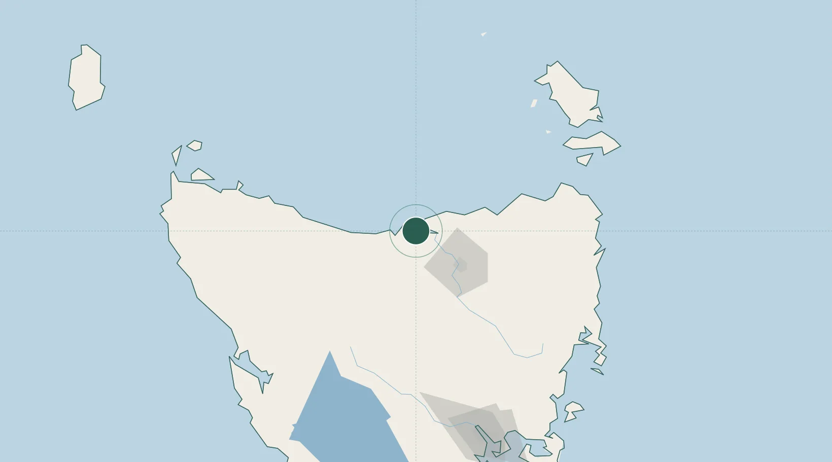
AUBEL

Bell Bay

-41.1421°, 146.7616°
3
Transport functions
1
Container terminals

Transport Functions

Port
Rail
Road
UN/LOCODE

Hub Profile

Place type
Populated place
GeoNames
Region
Tasmania
GeoNames
Time zone
Australia/Hobart
GeoNames
Elevation
37 m
GeoNames
Logistics facilities
7
UN/LOCODE
Container terminals
1
UN/LOCODE

Location

Location of AUBEL
Natural Earth 10m (public domain) · Tasmania · AUBEL · -41.14, 146.76GoogleOSMYandex

Nearby Logistics Neighbours

Cities
  1. 1Kayena11 km
  2. 2Deviot18 km
  3. 3Gravelly Beach25 km
  4. 4Swan Bay25 km
  5. 5Devonport32 km
Nearest neighbours — logibook spatial index (haversine) over the source coordinates
Ports
  1. 1Beauty Point5 km
  2. 2Port Dalrymple6 km
  3. 3Devonport33 km
  4. 4Launceston45 km
  5. 5Burnie69 km
Nearest neighbours — logibook spatial index (haversine) over the source coordinates
Airports
  1. 1Devonport Airport28 km
  2. 2Launceston Airport58 km
  3. 3Wynyard Airport88 km
  4. 4Smithton Airport145 km
  5. 5Flinders Island Airport156 km
Nearest neighbours — logibook spatial index (haversine) over the source coordinates
Trade Zones
  1. 1Latrobe Valley Economic Growth Zone325 km
  2. 2Hicks Bay Area Special Economic Zone2711 km
  3. 3Vanuatu Economic Development Zone3461 km
  4. 4Paga Hill Estate Special Economic Zone3521 km
  5. 5Ihu Special Economic Zone3699 km
Nearest neighbours — logibook spatial index (haversine) over the source coordinates
DatabookThe Record of Consolidated Knowledge
Australia beyond logistics?
Browse databook

All Sources

LocationsUN/LOCODE
UN/LOCODE — free
Portsthe NGA World Port Index
Public domain (US gov)
AirportsOurAirports
Public domain
Trade Zonesthe World Bank SEZ database
CC BY 4.0
Trade ZonesOpen Zone Map
CC BY
← Australia locations