UN/LOCODE hub · Australia
AUSB2

Swan Bay

-41.2667°, 147.0167°
308
Population
1
Transport functions

Transport Functions

Multimodal
UN/LOCODE

Hub Profile

Place type
Urban district
GeoNames
Region
New South Wales
GeoNames
Population
308
GeoNames
Time zone
Australia/Sydney
GeoNames
Elevation
17 m
GeoNames

Location

Location of AUSB2
Natural Earth 10m (public domain) · New South Wales · AUSB2 · -41.27, 147.02GoogleOSMYandex

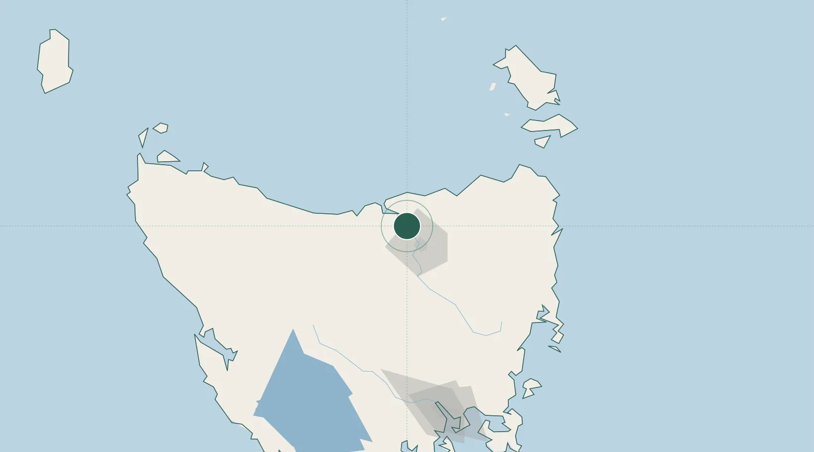
Nearby Logistics Neighbours

Cities
  1. 1Gravelly Beach6 km
  2. 2Deviot8 km
  3. 3Lalla14 km
  4. 4Kayena15 km
  5. 5Mayfield16 km
Nearest neighbours — logibook spatial index (haversine) over the source coordinates
Ports
  1. 1Beauty Point21 km
  2. 2Port Dalrymple21 km
  3. 3Launceston22 km
  4. 4Devonport55 km
  5. 5Burnie93 km
Nearest neighbours — logibook spatial index (haversine) over the source coordinates
Airports
  1. 1Launceston Airport35 km
  2. 2Devonport Airport50 km
  3. 3Wynyard Airport112 km
  4. 4Flinders Island Airport154 km
  5. 5Smithton Airport169 km
Nearest neighbours — logibook spatial index (haversine) over the source coordinates
Trade Zones
  1. 1Latrobe Valley Economic Growth Zone341 km
  2. 2Hicks Bay Area Special Economic Zone2689 km
  3. 3Vanuatu Economic Development Zone3458 km
  4. 4Paga Hill Estate Special Economic Zone3534 km
  5. 5Ihu Special Economic Zone3714 km
Nearest neighbours — logibook spatial index (haversine) over the source coordinates
DatabookThe Record of Consolidated Knowledge
Australia beyond logistics?
Browse databook

All Sources

LocationsUN/LOCODE
UN/LOCODE — free
LocationsGeoNames
CC BY 4.0
Portsthe NGA World Port Index
Public domain (US gov)
AirportsOurAirports
Public domain
Trade Zonesthe World Bank SEZ database
CC BY 4.0
Trade ZonesOpen Zone Map
CC BY
← Australia locations