UN/LOCODE hub · Australia
AUGRB
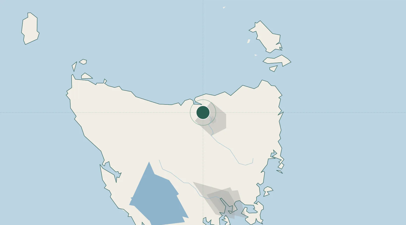
Gravelly Beach
-41.3000°, 146.9667°
563
Population
2
Transport functions
Transport Functions
Port
Multimodal
Hub Profile
Place type
Populated place
Region
Tasmania
Population
563
Time zone
Australia/Hobart
Elevation
10 m
Location
Nearby Logistics Neighbours
Cities
- 1Swan Bay6 km
- 2Deviot8 km
- 3Kayena15 km
- 4Mayfield17 km
- 5Mowbray Heights17 km
Ports
- 1Launceston21 km
- 2Beauty Point21 km
- 3Port Dalrymple22 km
- 4Devonport52 km
- 5Burnie90 km
Airports
- 1Launceston Airport34 km
- 2Devonport Airport47 km
- 3Wynyard Airport109 km
- 4Flinders Island Airport160 km
- 5Smithton Airport166 km
Trade Zones
DatabookThe Record of Consolidated Knowledge
Australia beyond logistics?