Transport Functions
Multimodal
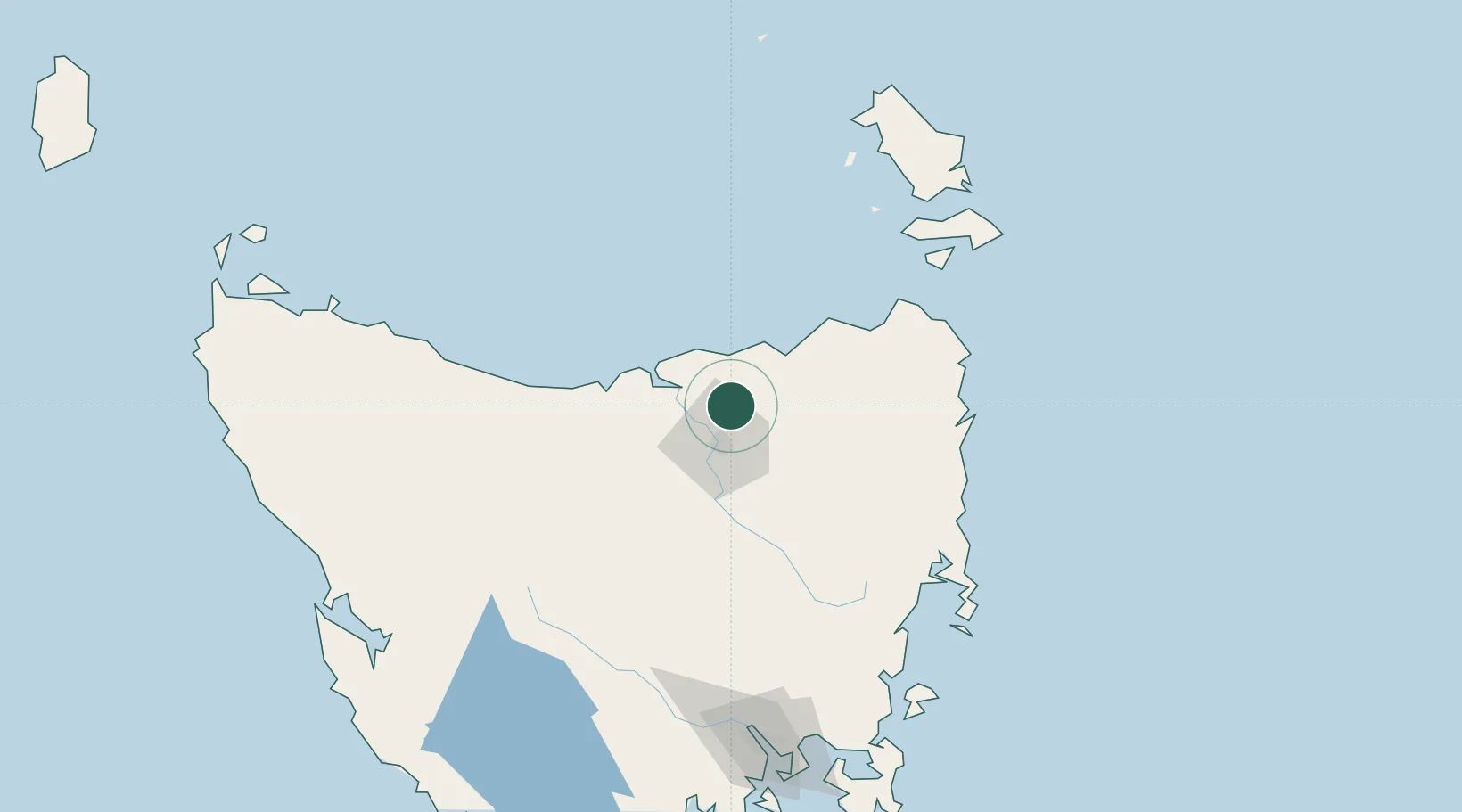
Hub Profile
Place type
Populated place
Region
Tasmania
Population
84
Time zone
Australia/Hobart
Elevation
186 m
Location
Nearby Logistics Neighbours
Cities
- 1Swan Bay14 km
- 2Mayfield15 km
- 3Mowbray Heights15 km
- 4Newnham15 km
- 5Gravelly Beach19 km
Ports
- 1Launceston23 km
- 2Port Dalrymple32 km
- 3Beauty Point33 km
- 4Devonport69 km
- 5Burnie106 km
Airports
- 1Launceston Airport33 km
- 2Devonport Airport64 km
- 3Wynyard Airport125 km
- 4Flinders Island Airport146 km
- 5Hobart International Airport179 km
Trade Zones
DatabookThe Record of Consolidated Knowledge
Australia beyond logistics?