Small airport · Australia

Flinders Island AirportYFLI
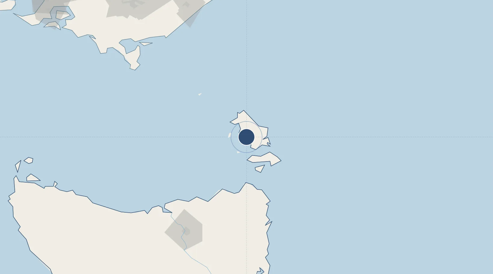
-40.0917°, 147.9930°
5,643 ft
Longest runway
2
Runways
10 ft
Elevation

Runway & Layout

Flinders Island Airport runway & taxiway layout
Runway & taxiway layout — OpenStreetMap (ODbL) / OurAirports

Radio Frequencies

CTAF
124.229 MHz
MISC
119.6 MHz
MISC
126.5 MHz
OurAirports

Navaids

FLI NDB Flinders Island 296 kHz
OurAirports

Runways · 2

RunwayDimensions SurfaceTrue headingLit
14/32 5,643 × —ft X
05/23 3,510 × —ft B
OurAirports

Airport Specifications

IATA code
FLS
OurAirports
ICAO code
YFLI
OurAirports
Airport class
Small airport
OurAirports
Scheduled service
Yes
OurAirports
Runway surface
X
OurAirports
Served city
Whitemark
OurAirports

Location

Location of YFLI
Natural Earth 10m (public domain) · Tasmania · YFLI · -40.09, 147.99GoogleOSMYandex

Nearby Logistics Neighbours

Airports
  1. 1Launceston Airport175 km
  2. 2Devonport Airport178 km
  3. 3Wynyard Airport216 km
  4. 4RAAF Base East Sale233 km
  5. 5West Sale Airport240 km
Nearest neighbours — logibook spatial index (haversine) over the source coordinates
Cities
  1. 1Bridport113 km
  2. 2Lalla146 km
  3. 3Kayena153 km
  4. 4Swan Bay154 km
  5. 5Deviot155 km
Nearest neighbours — logibook spatial index (haversine) over the source coordinates
Ports
  1. 1Port Dalrymple152 km
  2. 2Beauty Point154 km
  3. 3Launceston168 km
  4. 4Devonport183 km
  5. 5Burnie203 km
Nearest neighbours — logibook spatial index (haversine) over the source coordinates
Trade Zones
  1. 1Latrobe Valley Economic Growth Zone249 km
  2. 2Hicks Bay Area Special Economic Zone2613 km
  3. 3Vanuatu Economic Development Zone3305 km
  4. 4Paga Hill Estate Special Economic Zone3405 km
  5. 5Ihu Special Economic Zone3589 km
Nearest neighbours — logibook spatial index (haversine) over the source coordinates
DatabookThe Record of Consolidated Knowledge
Australia beyond logistics?
Browse databook

All Sources

AirportsOurAirports
Public domain
Portsthe NGA World Port Index
Public domain (US gov)
LocationsUN/LOCODE
UN/LOCODE — free
Trade Zonesthe World Bank SEZ database
CC BY 4.0
Trade ZonesOpen Zone Map
CC BY
InfrastructureOpenStreetMap
ODbL 1.0
← Australia airports