Transport Functions
Multimodal
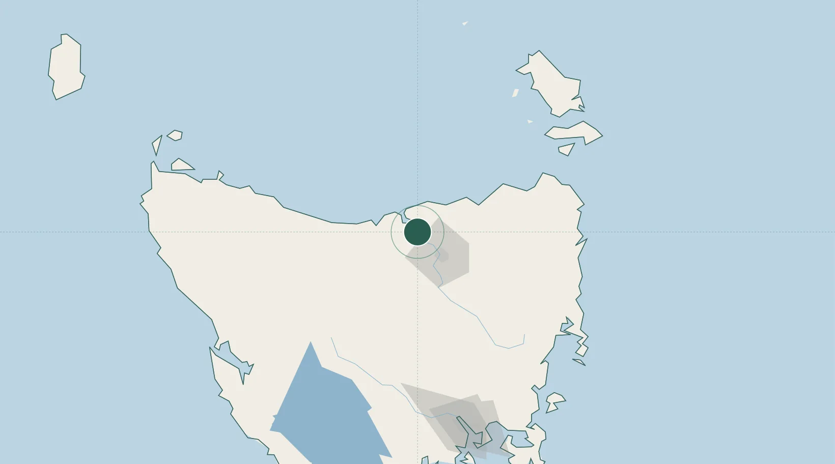
Hub Profile
Place type
Populated place
Region
Tasmania
Population
301
Time zone
Australia/Hobart
Elevation
65 m
Logistics facilities
1
Location
Nearby Logistics Neighbours
Cities
- 1Kayena7 km
- 2Swan Bay8 km
- 3Gravelly Beach8 km
- 4Bell Bay18 km
- 5Lalla21 km
Ports
- 1Beauty Point14 km
- 2Port Dalrymple14 km
- 3Launceston29 km
- 4Devonport48 km
- 5Burnie85 km
Airports
- 1Launceston Airport42 km
- 2Devonport Airport43 km
- 3Wynyard Airport105 km
- 4Flinders Island Airport155 km
- 5Smithton Airport161 km
Trade Zones
DatabookThe Record of Consolidated Knowledge
Australia beyond logistics?