Transport Functions
Rail
Road
Hub Profile
Place type
Populated place
Region
New South Wales
Population
765
Time zone
Australia/Sydney
Elevation
192 m
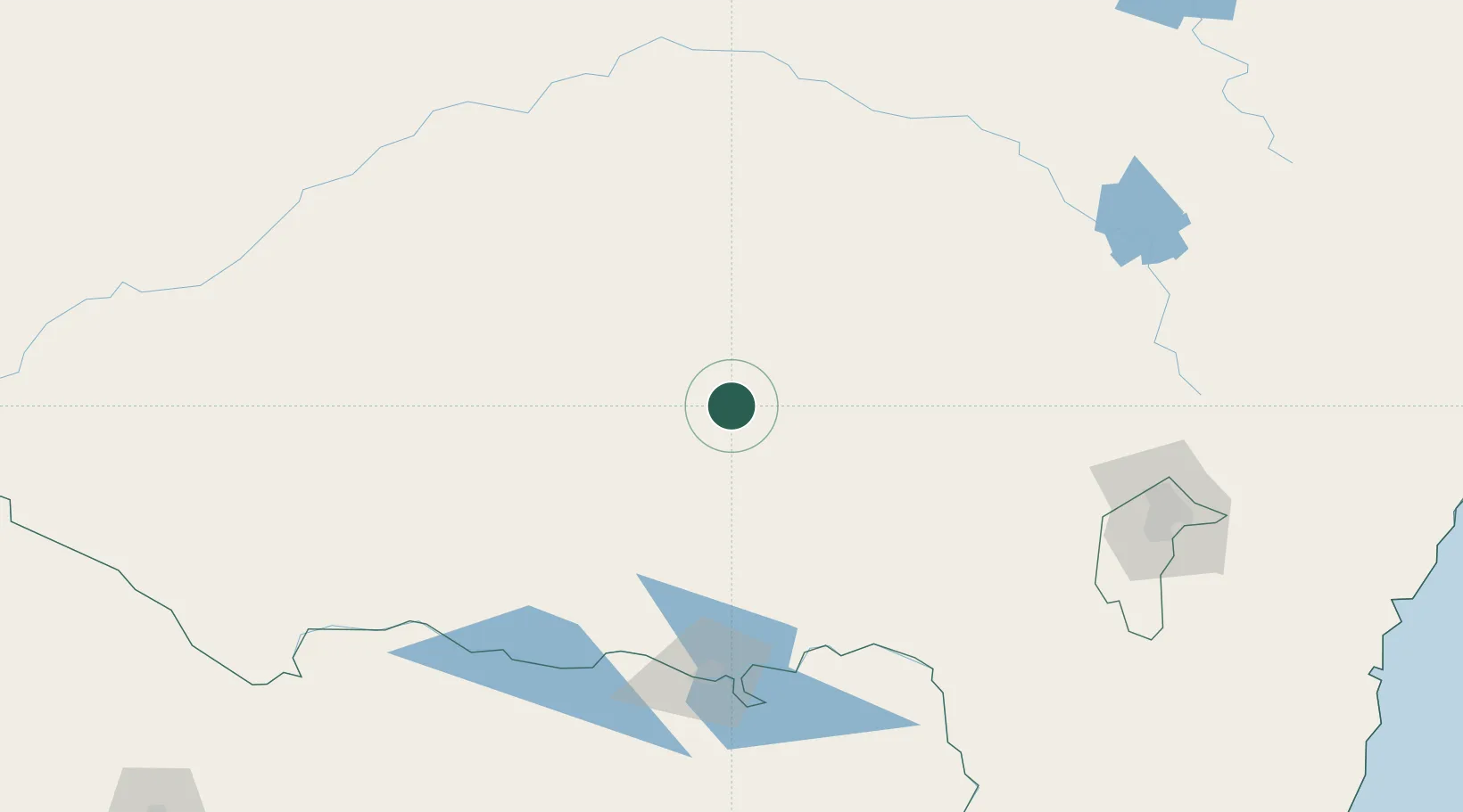
Location
Nearby Logistics Neighbours
Cities
- 1Matong11 km
- 2Coolamon15 km
- 3Grong Grong24 km
- 4Junee51 km
- 5Ardlethan52 km
Ports
- 1Batemans Bay302 km
- 2Jervis Bay345 km
- 3Port Kembla357 km
- 4Eden362 km
- 5Melbourne385 km
Airports
- 1Narrandera Airport49 km
- 2Wagga Wagga Airport57 km
- 3Temora Airport61 km
- 4Cootamundra Airport94 km
- 5West Wyalong Airport97 km
Trade Zones
DatabookThe Record of Consolidated Knowledge
Australia beyond logistics?