Transport Functions
Rail
Road
Hub Profile
Place type
Populated place
Region
New South Wales
Population
2,131
Time zone
Australia/Sydney
Elevation
247 m
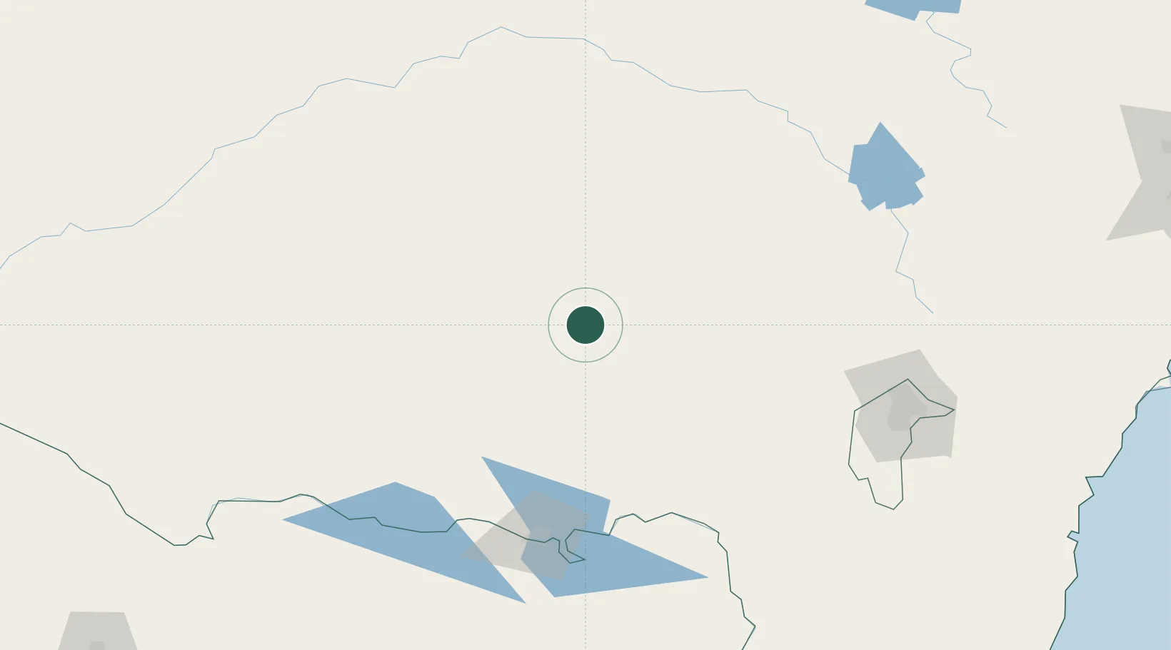
Location
Nearby Logistics Neighbours
Cities
- 1Ganmain15 km
- 2Matong27 km
- 3Junee35 km
- 4Grong Grong39 km
- 5The Rock51 km
Ports
- 1Batemans Bay287 km
- 2Jervis Bay330 km
- 3Port Kembla342 km
- 4Eden350 km
- 5Botany Bay381 km
Airports
- 1Wagga Wagga Airport46 km
- 2Temora Airport52 km
- 3Narrandera Airport64 km
- 4Cootamundra Airport79 km
- 5West Wyalong Airport98 km
Trade Zones
DatabookThe Record of Consolidated Knowledge
Australia beyond logistics?