Transport Functions
Rail
Road
Hub Profile
Place type
Populated place
Region
Western Australia
Population
912
Time zone
Australia/Perth
Elevation
270 m
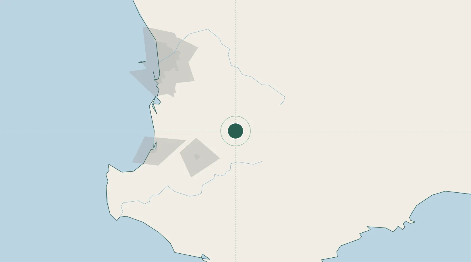
Location
Nearby Logistics Neighbours
Airports
- 1Perth Jandakot Airport140 km
- 2Perth International Airport149 km
- 3Busselton Margaret River Regional Airport156 km
- 4RAAF Base Pearce172 km
- 5Albany Airport229 km
Trade Zones
- 1KEK Mandalika2685 km
- 2Oecusse Ambeno Enclave Special Zone For Social Market Economy (Zeesm)2743 km
- 3KEK Singhasari2831 km
- 4Pasuruan Industrial Estate Rembang2858 km
- 5Ngoro Industrial Park2866 km
DatabookThe Record of Consolidated Knowledge
Australia beyond logistics?