Transport Functions
Port
Road
Hub Profile
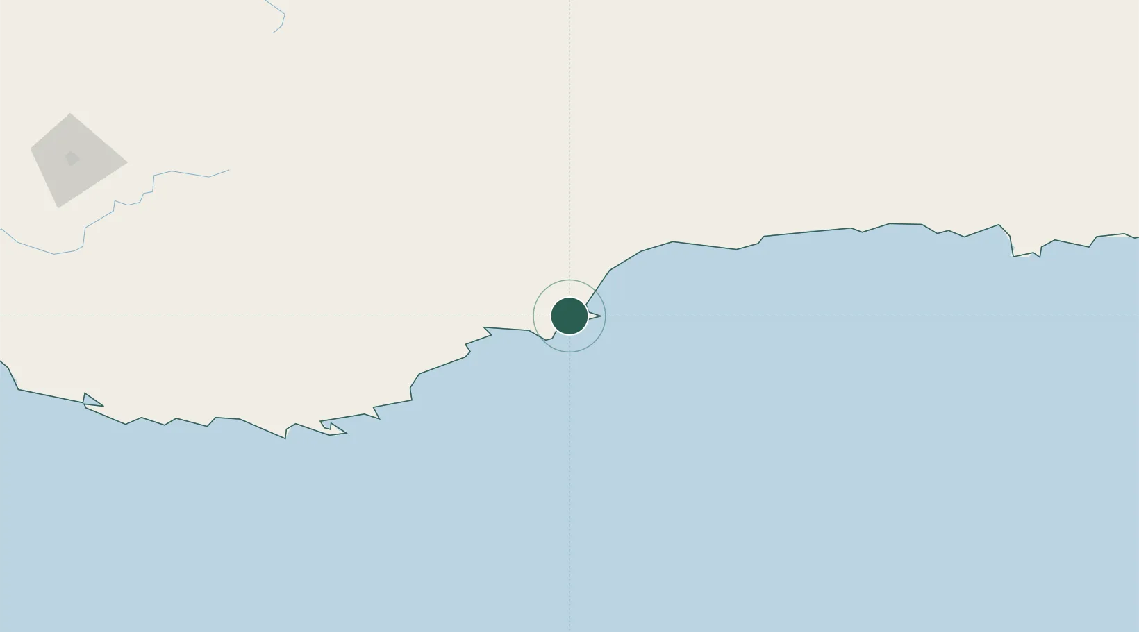
Place type
Populated place
Region
Western Australia
Population
364
Time zone
Australia/Perth
Elevation
12 m
Location
Nearby Logistics Neighbours
Cities
- 1Gnowangerup135 km
- 2Mount Barker158 km
- 3Denmark196 km
- 4Hyden220 km
- 5Wagin222 km
Airports
- 1Albany Airport156 km
- 2Esperance Airport239 km
- 3Busselton Margaret River Regional Airport374 km
- 4Perth Jandakot Airport412 km
- 5Perth International Airport417 km
Trade Zones
- 1Latrobe Valley Economic Growth Zone2450 km
- 2Oecusse Ambeno Enclave Special Zone For Social Market Economy (Zeesm)2831 km
- 3KEK Mandalika2851 km
- 4Atauro Special Economic Zone2978 km
- 5KEK Singhasari3026 km
DatabookThe Record of Consolidated Knowledge
Australia beyond logistics?