UN/LOCODE hub · Australia
AUEWO

Elwood

-37.8833°, 144.9833°
15,153
Population
1
Transport functions

Transport Functions

Multimodal
UN/LOCODE

Hub Profile

Place type
Urban district
GeoNames
Region
Victoria
GeoNames
Population
15,153
GeoNames
Time zone
Australia/Melbourne
GeoNames
Elevation
9 m
GeoNames

Location

Location of AUEWO
Natural Earth 10m (public domain) · Victoria · AUEWO · -37.88, 144.98GoogleOSMYandex

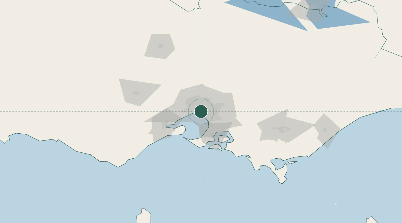
Nearby Logistics Neighbours

Cities
  1. 1Elsternwick2 km
  2. 2Caulfield3 km
  3. 3Prahran4 km
  4. 4Malvern5 km
  5. 5Richmond6 km
Nearest neighbours — logibook spatial index (haversine) over the source coordinates
Ports
  1. 1Melbourne6 km
  2. 2Western Port56 km
  3. 3Geelong62 km
  4. 4Welshpool158 km
  5. 5Warrnambool226 km
Nearest neighbours — logibook spatial index (haversine) over the source coordinates
Airports
  1. 1Melbourne Moorabbin Airport15 km
  2. 2Melbourne Essendon Airport19 km
  3. 3Melbourne Airport27 km
  4. 4Melbourne Avalon International Airport49 km
  5. 5Latrobe Valley Airport135 km
Nearest neighbours — logibook spatial index (haversine) over the source coordinates
Trade Zones
  1. 1Latrobe Valley Economic Growth Zone129 km
  2. 2Paga Hill Estate Special Economic Zone3165 km
  3. 3Vanuatu Economic Development Zone3305 km
  4. 4Ihu Special Economic Zone3335 km
  5. 5Morobe Agricultural Special Economic Zone3474 km
Nearest neighbours — logibook spatial index (haversine) over the source coordinates
DatabookThe Record of Consolidated Knowledge
Australia beyond logistics?
Browse databook

All Sources

LocationsUN/LOCODE
UN/LOCODE — free
LocationsGeoNames
CC BY 4.0
Portsthe NGA World Port Index
Public domain (US gov)
AirportsOurAirports
Public domain
Trade Zonesthe World Bank SEZ database
CC BY 4.0
Trade ZonesOpen Zone Map
CC BY
← Australia locations