Medium airport · Australia

Fitzroy Crossing AirportYFTZ
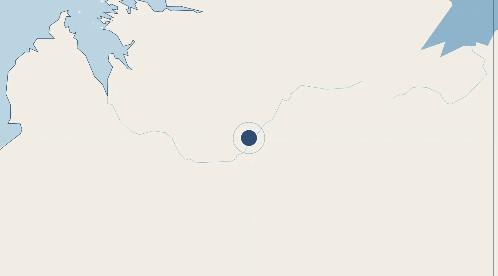
-18.1836°, 125.5598°
4,265 ft
Longest runway
1
Runways
368 ft
Elevation

Runway & Layout

Fitzroy Crossing Airport runway & taxiway layout
Runway & taxiway layout — OpenStreetMap (ODbL) / OurAirports

Radio Frequencies

CTAF
126.7 MHz
FSS
124.8 MHz
BRISBANE CNTR
OurAirports

Navaids

FTZ NDB Fitzroy Crossing 407 kHz
OurAirports

Runways · 1

RunwayDimensions SurfaceTrue headingLit
01/19 4,265 × 98ft Asphalt 018°
OurAirports

Airport Specifications

IATA code
FIZ
OurAirports
ICAO code
YFTZ
OurAirports
Airport class
Medium airport
OurAirports
Scheduled service
Yes
OurAirports
Runway surface
Asphalt
OurAirports

Location

Location of YFTZ
Natural Earth 10m (public domain) · Western Australia · YFTZ · -18.18, 125.56GoogleOSMYandex

Nearby Logistics Neighbours

Airports
  1. 1RAAF Base Curtin195 km
  2. 2Derby Airport220 km
  3. 3Halls Creek Airport223 km
  4. 4Broome International Airport353 km
  5. 5East Kimberley Regional (Kununurra) Airport429 km
Nearest neighbours — logibook spatial index (haversine) over the source coordinates
Cities
  1. 1Cockatoo Island310 km
  2. 2Troughton Island497 km
  3. 3Blacktip Terminal584 km
  4. 4Montara Field589 km
  5. 5Challis Venture (oil Terminal)677 km
Nearest neighbours — logibook spatial index (haversine) over the source coordinates
Ports
  1. 1Broome353 km
  2. 2Wyndham405 km
  3. 3Port Hedland770 km
  4. 4Darwin851 km
  5. 5Kupang917 km
Nearest neighbours — logibook spatial index (haversine) over the source coordinates
Trade Zones
  1. 1Oecusse Ambeno Enclave Special Zone For Social Market Economy (Zeesm)993 km
  2. 2Atauro Special Economic Zone1108 km
  3. 3KEK Mandalika1438 km
  4. 4Bantaeng Industrial Park (BIP)1538 km
  5. 5Terpadu Takalar Industrial Estate1563 km
Nearest neighbours — logibook spatial index (haversine) over the source coordinates
DatabookThe Record of Consolidated Knowledge
Australia beyond logistics?
Browse databook

All Sources

AirportsOurAirports
Public domain
Portsthe NGA World Port Index
Public domain (US gov)
LocationsUN/LOCODE
UN/LOCODE — free
Trade Zonesthe World Bank SEZ database
CC BY 4.0
Trade ZonesOpen Zone Map
CC BY
InfrastructureOpenStreetMap
ODbL 1.0
← Australia airports