Medium airport · Australia

RAAF Base CurtinYCIN
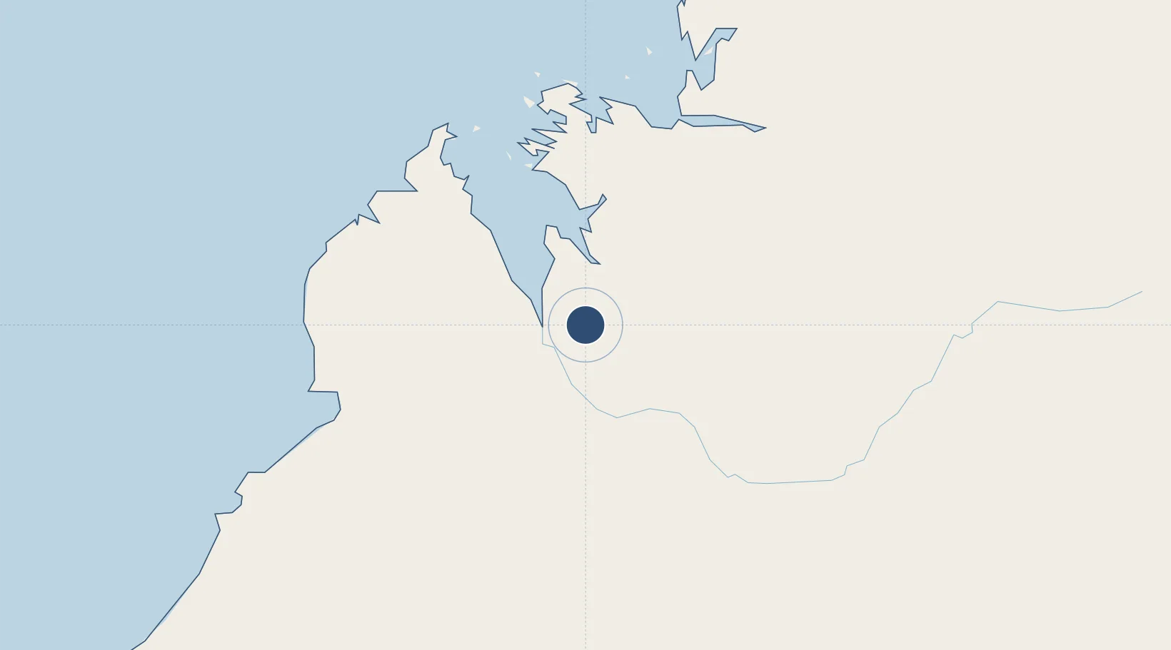
-17.5814°, 123.8283°
10,003 ft
Longest runway
1
Runways
300 ft
Elevation

Runway & Layout

RAAF Base Curtin runway & taxiway layout
Runway & taxiway layout — OpenStreetMap (ODbL) / OurAirports

Radio Frequencies

ATIS
31.63 MHz
TWR
118.3 MHz
GND
26.46 MHz
APP
26.14 MHz
CTAF
126.7 MHz
FSS
122.1 MHz
BRISBANE CNTR
OurAirports

Navaids

CIN VOR-DME Curtin 114.30 MHz
CIN NDB Curtin 350 kHz
OurAirports

Runways · 1

RunwayDimensions SurfaceTrue headingLit
11/29 10,003 × 148ft Asphalt 111°
OurAirports

Airport Specifications

IATA code
DCN
OurAirports
ICAO code
YCIN
OurAirports
Airport class
Medium airport
OurAirports
Scheduled service
No
OurAirports
Runway surface
Asphalt
OurAirports
Served city
Derby
OurAirports

Location

Location of YCIN
Natural Earth 10m (public domain) · Western Australia · YCIN · -17.58, 123.83GoogleOSMYandex

Nearby Logistics Neighbours

Airports
  1. 1Derby Airport29 km
  2. 2Broome International Airport174 km
  3. 3Fitzroy Crossing Airport195 km
  4. 4Halls Creek Airport413 km
  5. 5Telfer Airport489 km
Nearest neighbours — logibook spatial index (haversine) over the source coordinates
Cities
  1. 1Cockatoo Island166 km
  2. 2Troughton Island492 km
  3. 3Montara Field501 km
  4. 4Challis Venture (oil Terminal)621 km
  5. 5Port Hedland632 km
Nearest neighbours — logibook spatial index (haversine) over the source coordinates
Ports
  1. 1Broome174 km
  2. 2Wyndham513 km
  3. 3Port Hedland630 km
  4. 4Port Walcott777 km
  5. 5Dampier821 km
Nearest neighbours — logibook spatial index (haversine) over the source coordinates
Trade Zones
  1. 1Oecusse Ambeno Enclave Special Zone For Social Market Economy (Zeesm)919 km
  2. 2Atauro Special Economic Zone1058 km
  3. 3KEK Mandalika1263 km
  4. 4Bantaeng Industrial Park (BIP)1410 km
  5. 5Terpadu Takalar Industrial Estate1430 km
Nearest neighbours — logibook spatial index (haversine) over the source coordinates
DatabookThe Record of Consolidated Knowledge
Australia beyond logistics?
Browse databook

All Sources

AirportsOurAirports
Public domain
Portsthe NGA World Port Index
Public domain (US gov)
LocationsUN/LOCODE
UN/LOCODE — free
Trade Zonesthe World Bank SEZ database
CC BY 4.0
Trade ZonesOpen Zone Map
CC BY
InfrastructureOpenStreetMap
ODbL 1.0
← Australia airports