Large airport · Australia

Broome International AirportYBRM
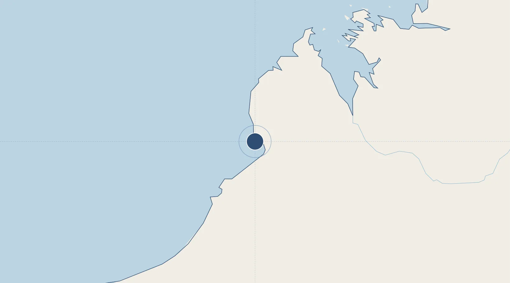
-17.9492°, 122.2283°
7,769 ft
Longest runway
1
Runways
56 ft
Elevation

Runway & Layout

Broome International Airport runway & taxiway layout
Runway & taxiway layout — OpenStreetMap (ODbL) / OurAirports

Radio Frequencies

ATIS
126.55 MHz
CTAF
126 MHz
FSS
123.9 MHz
BRISBANE CNTR
OurAirports

Navaids

BRM NDB-DME Broome 0.32 MHz
OurAirports

Runways · 1

RunwayDimensions SurfaceTrue headingLit
10/28 7,769 × 148ft Asphalt 105°
OurAirports

Airport Specifications

IATA code
BME
OurAirports
ICAO code
YBRM
OurAirports
Airport class
Large airport
OurAirports
Scheduled service
Yes
OurAirports
Runway surface
Asphalt
OurAirports
Served city
Broome
OurAirports

Location

Location of YBRM
Natural Earth 10m (public domain) · Western Australia · YBRM · -17.95, 122.23GoogleOSMYandex

Nearby Logistics Neighbours

Airports
  1. 1Derby Airport165 km
  2. 2RAAF Base Curtin174 km
  3. 3Fitzroy Crossing Airport353 km
  4. 4Telfer Airport419 km
  5. 5Port Hedland International Airport465 km
Nearest neighbours — logibook spatial index (haversine) over the source coordinates
Cities
  1. 1Cockatoo Island253 km
  2. 2Port Hedland467 km
  3. 3Montara Field576 km
  4. 4Troughton Island626 km
  5. 5Cossack Pioneer (oil Terminal)635 km
Nearest neighbours — logibook spatial index (haversine) over the source coordinates
Ports
  1. 1Broome2 km
  2. 2Port Hedland465 km
  3. 3Port Walcott609 km
  4. 4Dampier651 km
  5. 5Wyndham684 km
Nearest neighbours — logibook spatial index (haversine) over the source coordinates
Trade Zones
  1. 1Oecusse Ambeno Enclave Special Zone For Social Market Economy (Zeesm)984 km
  2. 2Atauro Special Economic Zone1142 km
  3. 3KEK Mandalika1193 km
  4. 4Bantaeng Industrial Park (BIP)1408 km
  5. 5Terpadu Takalar Industrial Estate1421 km
Nearest neighbours — logibook spatial index (haversine) over the source coordinates
DatabookThe Record of Consolidated Knowledge
Australia beyond logistics?
Browse databook

All Sources

AirportsOurAirports
Public domain
Portsthe NGA World Port Index
Public domain (US gov)
LocationsUN/LOCODE
UN/LOCODE — free
Trade Zonesthe World Bank SEZ database
CC BY 4.0
Trade ZonesOpen Zone Map
CC BY
InfrastructureOpenStreetMap
ODbL 1.0
← Australia airports