UN/LOCODE hub · Australia
AUCVL

Clovelly

-33.9000°, 151.2500°
4,648
Population
1
Transport functions

Transport Functions

Port
UN/LOCODE

Hub Profile

Place type
Urban district
GeoNames
Region
New South Wales
GeoNames
Population
4,648
GeoNames
Time zone
Australia/Sydney
GeoNames
Elevation
47 m
GeoNames

Location

Location of AUCVL
Natural Earth 10m (public domain) · New South Wales · AUCVL · -33.90, 151.25GoogleOSMYandex

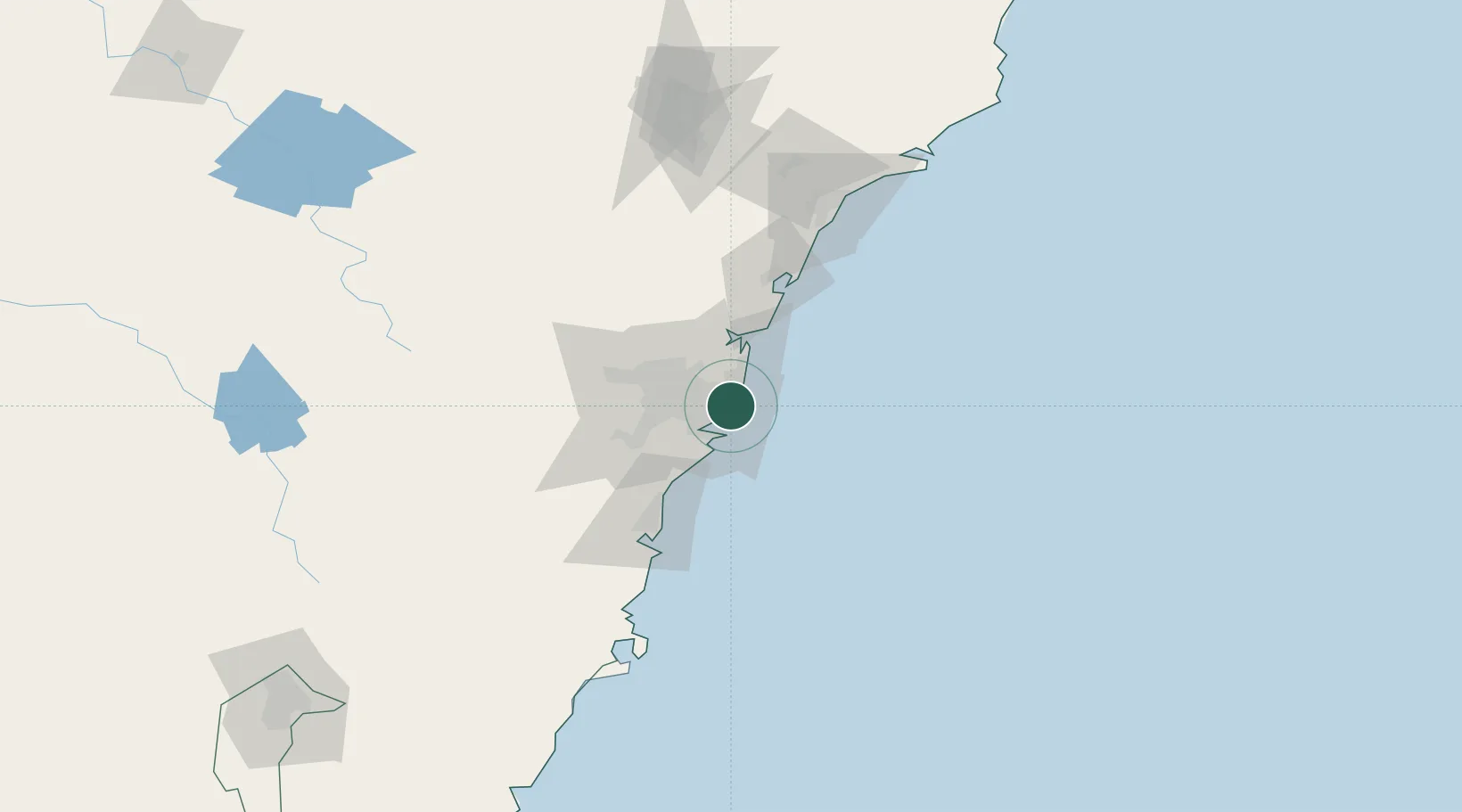
Nearby Logistics Neighbours

Cities
  1. 1Bondi Junction2 km
  2. 2Daceyville4 km
  3. 3Darlinghurst4 km
  4. 4Paddington4 km
  5. 5Surry Hills4 km
Nearest neighbours — logibook spatial index (haversine) over the source coordinates
Ports
  1. 1Sydney6 km
  2. 2Botany Bay11 km
  3. 3Port Kembla72 km
  4. 4Newcastle120 km
  5. 5Jervis Bay141 km
Nearest neighbours — logibook spatial index (haversine) over the source coordinates
Airports
  1. 1Sydney Kingsford Smith International Airport9 km
  2. 2Sydney Bankstown Airport24 km
  3. 3Palm Beach Seaplane Base35 km
  4. 4Camden Airport54 km
  5. 5RAAF Base Richmond54 km
Nearest neighbours — logibook spatial index (haversine) over the source coordinates
Trade Zones
  1. 1Latrobe Valley Economic Growth Zone650 km
  2. 2Hicks Bay Area Special Economic Zone2452 km
  3. 3Vanuatu Economic Development Zone2594 km
  4. 4Paga Hill Estate Special Economic Zone2747 km
  5. 5Tulagi Island Special Economic Zone2903 km
Nearest neighbours — logibook spatial index (haversine) over the source coordinates
DatabookThe Record of Consolidated Knowledge
Australia beyond logistics?
Browse databook

All Sources

LocationsUN/LOCODE
UN/LOCODE — free
LocationsGeoNames
CC BY 4.0
Portsthe NGA World Port Index
Public domain (US gov)
AirportsOurAirports
Public domain
Trade Zonesthe World Bank SEZ database
CC BY 4.0
Trade ZonesOpen Zone Map
CC BY
← Australia locations