Transport Functions
Port
Road
Hub Profile
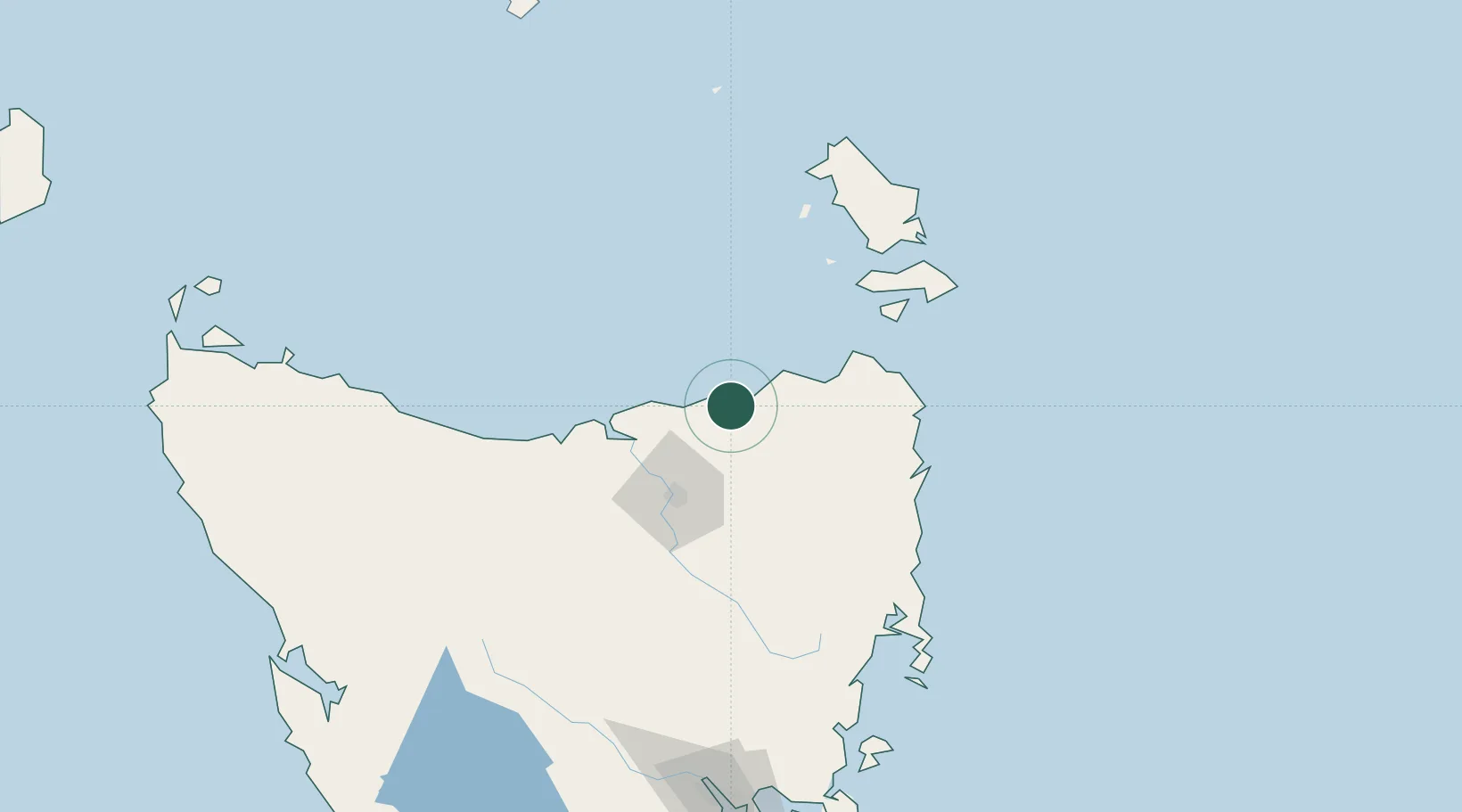
Place type
Populated place
Region
Tasmania
Population
1,438
Time zone
Australia/Hobart
Elevation
28 m
Location
Nearby Logistics Neighbours
Ports
- 1Port Dalrymple50 km
- 2Beauty Point52 km
- 3Launceston55 km
- 4Devonport89 km
- 5Burnie122 km
Airports
- 1Launceston Airport63 km
- 2Devonport Airport84 km
- 3Flinders Island Airport113 km
- 4Wynyard Airport141 km
- 5Smithton Airport196 km
Trade Zones
DatabookThe Record of Consolidated Knowledge
Australia beyond logistics?