UN/LOCODE hub · Australia
AULDE

Lilydale

-41.4167°, 147.3500°
568
Population
3
Transport functions

Transport Functions

Rail
Road
Multimodal
UN/LOCODE

Hub Profile

Place type
Populated place
GeoNames
Region
Tasmania
GeoNames
Population
568
GeoNames
Time zone
Australia/Hobart
GeoNames
Elevation
163 m
GeoNames

Location

Location of AULDE
Natural Earth 10m (public domain) · Tasmania · AULDE · -41.42, 147.35GoogleOSMYandex

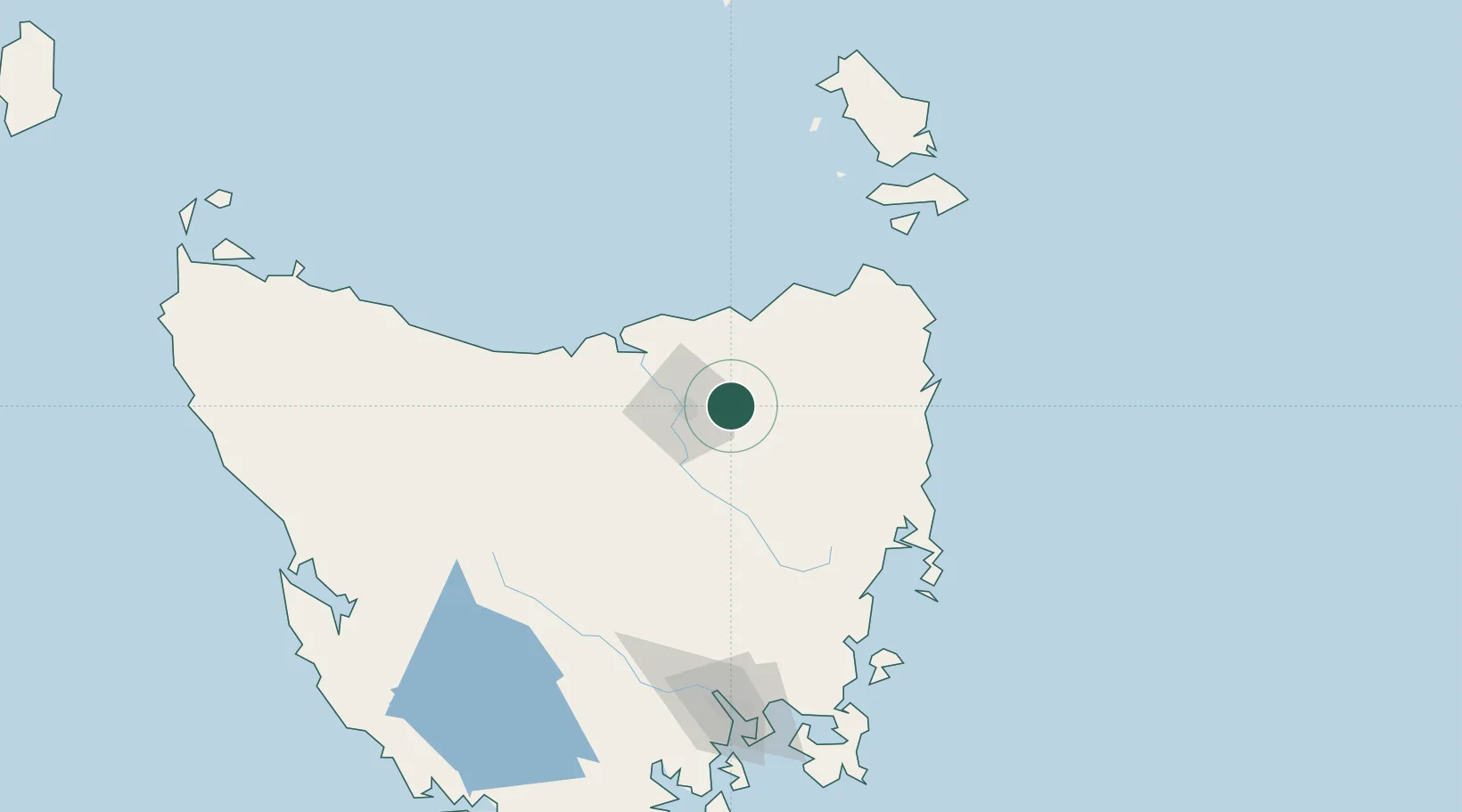
Nearby Logistics Neighbours

Cities
  1. 1Launceston16 km
  2. 2Invermay18 km
  3. 3Mayfield18 km
  4. 4Mowbray Heights18 km
  5. 5Newnham18 km
Nearest neighbours — logibook spatial index (haversine) over the source coordinates
Ports
  1. 1Launceston20 km
  2. 2Port Dalrymple53 km
  3. 3Beauty Point54 km
  4. 4Devonport86 km
  5. 5Burnie124 km
Nearest neighbours — logibook spatial index (haversine) over the source coordinates
Airports
  1. 1Launceston Airport18 km
  2. 2Devonport Airport82 km
  3. 3Wynyard Airport144 km
  4. 4Flinders Island Airport157 km
  5. 5Hobart International Airport159 km
Nearest neighbours — logibook spatial index (haversine) over the source coordinates
Trade Zones
  1. 1Latrobe Valley Economic Growth Zone363 km
  2. 2Hicks Bay Area Special Economic Zone2661 km
  3. 3Vanuatu Economic Development Zone3453 km
  4. 4Paga Hill Estate Special Economic Zone3551 km
  5. 5Ihu Special Economic Zone3732 km
Nearest neighbours — logibook spatial index (haversine) over the source coordinates
DatabookThe Record of Consolidated Knowledge
Australia beyond logistics?
Browse databook

All Sources

LocationsUN/LOCODE
UN/LOCODE — free
LocationsGeoNames
CC BY 4.0
Portsthe NGA World Port Index
Public domain (US gov)
AirportsOurAirports
Public domain
Trade Zonesthe World Bank SEZ database
CC BY 4.0
Trade ZonesOpen Zone Map
CC BY
← Australia locations