Transport Functions
Port
Airport
Hub Profile
Place type
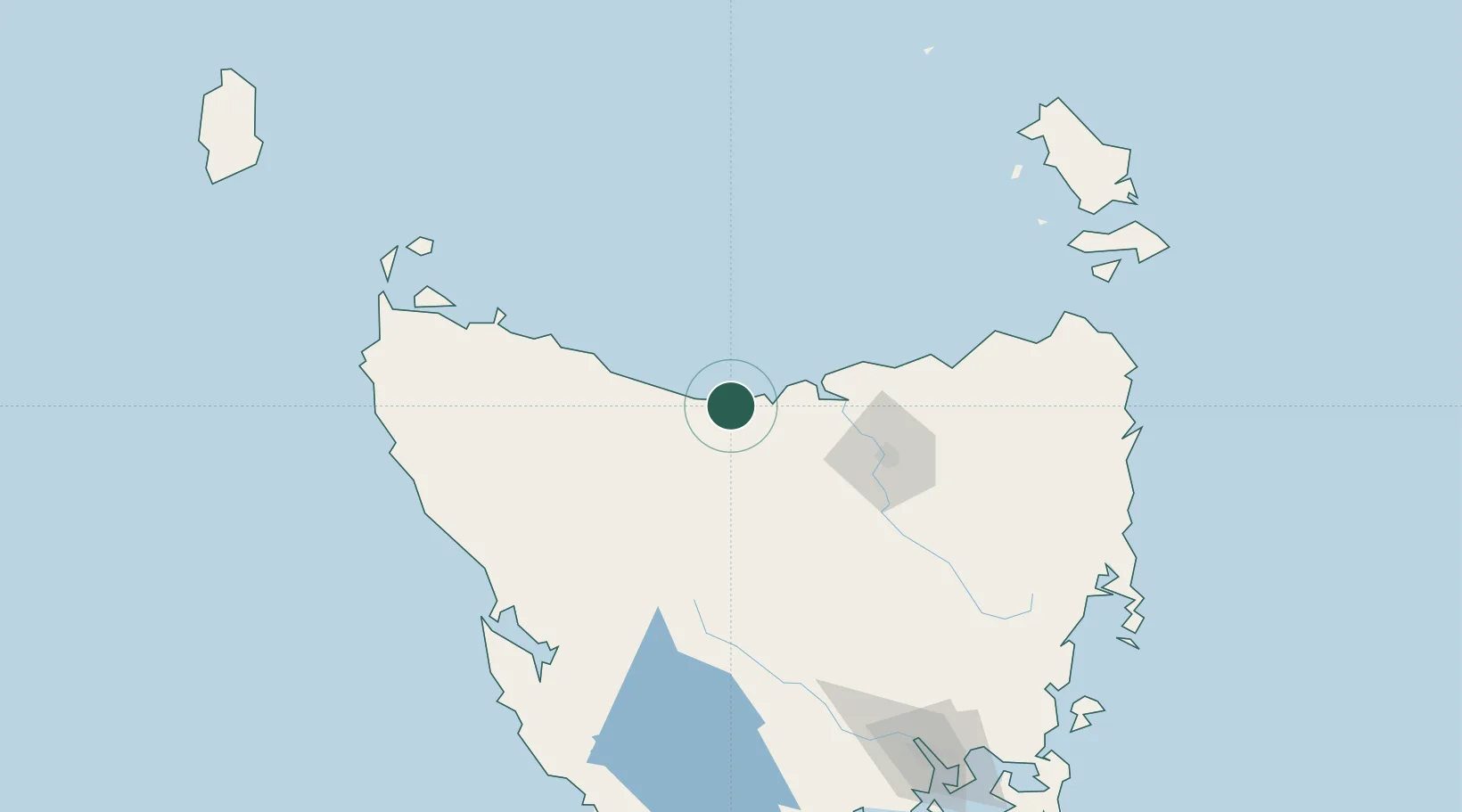
Populated place
Region
Tasmania
Population
26,150
Time zone
Australia/Hobart
Elevation
28 m
Logistics facilities
2
Location
Nearby Logistics Neighbours
Ports
- 1Beauty Point36 km
- 2Port Dalrymple38 km
- 3Burnie40 km
- 4Launceston68 km
- 5Port Latta93 km
Airports
- 1Devonport Airport4 km
- 2Wynyard Airport59 km
- 3Launceston Airport79 km
- 4Smithton Airport116 km
- 5Flinders Island Airport182 km
Trade Zones
DatabookThe Record of Consolidated Knowledge
Australia beyond logistics?