Medium airport · Australia
Esperance AirportYESP
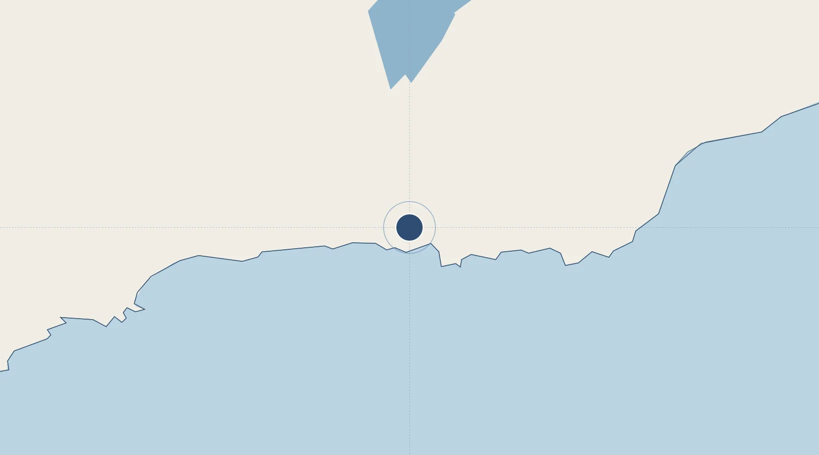
-33.6844°, 121.8230°
4,921 ft
Longest runway
2
Runways
470 ft
Elevation
Runway & Layout

Radio Frequencies
CTAF
126.7 MHz
FSS
133.2 MHz
MELBOURNE CNTR
Navaids
ESP VOR-DME Esperance 114.20 MHz
ESP NDB Esperance 326 kHz
Runways · 2
| Runway | Dimensions | Surface | True heading | Lit |
|---|---|---|---|---|
| 11/29 | 4,921 × 98ft | Asphalt | 111° | ✓ |
| 03/21 | 3,865 × 59ft | Gravel | 028° | — |
Airport Specifications
IATA code
EPR
ICAO code
YESP
Airport class
Medium airport
Scheduled service
Yes
Runway surface
Asphalt
Served city
Esperance
Location
Nearby Logistics Neighbours
Airports
- 1Kalgoorlie Boulder Airport323 km
- 2Albany Airport394 km
- 3Leonora Airport537 km
- 4Laverton Airport567 km
- 5Perth International Airport581 km
Cities
- 1Chadwick18 km
- 2Esperance20 km
- 3Rocky Point201 km
- 4Bremer Bay239 km
- 5Hyden308 km
Trade Zones
- 1Latrobe Valley Economic Growth Zone2261 km
- 2Oecusse Ambeno Enclave Special Zone For Social Market Economy (Zeesm)2720 km
- 3KEK Mandalika2814 km
- 4Atauro Special Economic Zone2858 km
- 5KEK Singhasari3020 km
DatabookThe Record of Consolidated Knowledge
Australia beyond logistics?