Transport Functions
Rail
Road
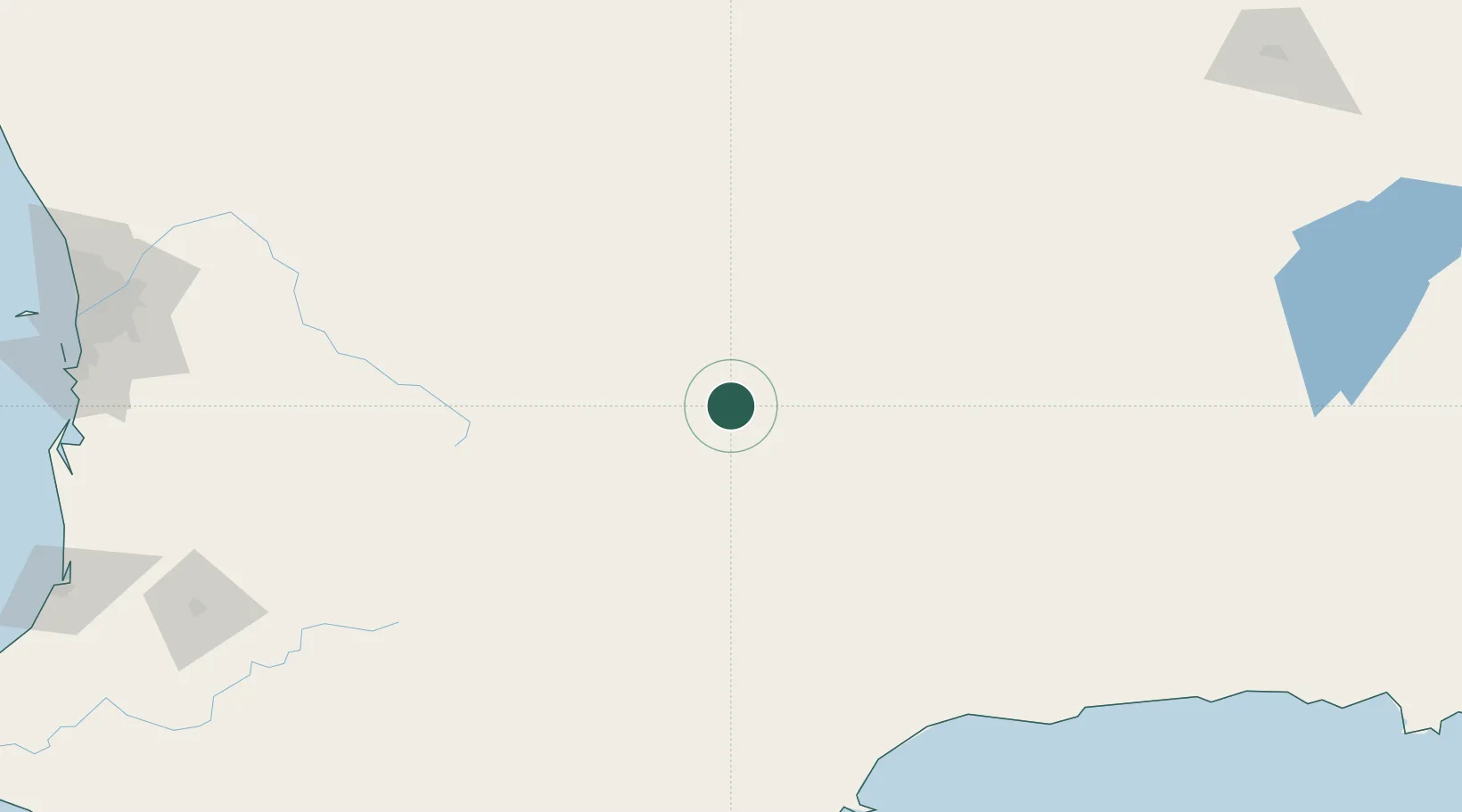
Hub Profile
Place type
Populated place
Region
Western Australia
Population
409
Time zone
Australia/Perth
Elevation
324 m
Location
Nearby Logistics Neighbours
Cities
- 1Narembeen62 km
- 2Merredin121 km
- 3Kellerberrin143 km
- 4Quairading146 km
- 5Pingelly168 km
Airports
- 1Perth International Airport279 km
- 2RAAF Base Pearce282 km
- 3Perth Jandakot Airport283 km
- 4Albany Airport294 km
- 5Kalgoorlie Boulder Airport307 km
Trade Zones
- 1Oecusse Ambeno Enclave Special Zone For Social Market Economy (Zeesm)2631 km
- 2KEK Mandalika2633 km
- 3Atauro Special Economic Zone2782 km
- 4KEK Singhasari2807 km
- 5Pasuruan Industrial Estate Rembang2832 km
DatabookThe Record of Consolidated Knowledge
Australia beyond logistics?