Transport Functions
Rail
Road
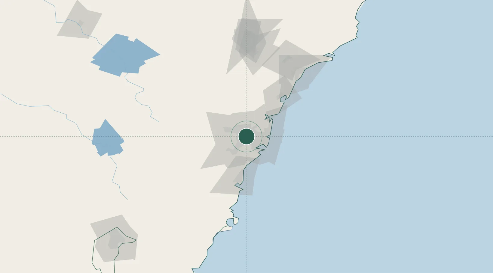
Hub Profile
Place type
Urban district
Region
New South Wales
Population
1,608
Time zone
Australia/Sydney
Elevation
18 m
Location
Nearby Logistics Neighbours
Cities
- 1Fairfield2 km
- 2Chester Hill4 km
- 3Wentworthville4 km
- 4Sefton5 km
- 5Pendle Hills6 km
Ports
- 1Sydney22 km
- 2Botany Bay30 km
- 3Port Kembla71 km
- 4Newcastle129 km
- 5Jervis Bay142 km
Airports
Trade Zones
DatabookThe Record of Consolidated Knowledge
Australia beyond logistics?